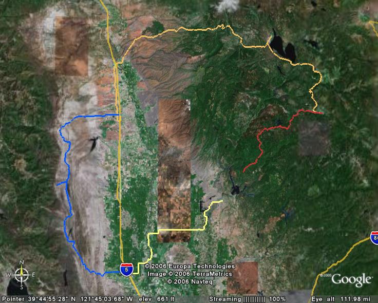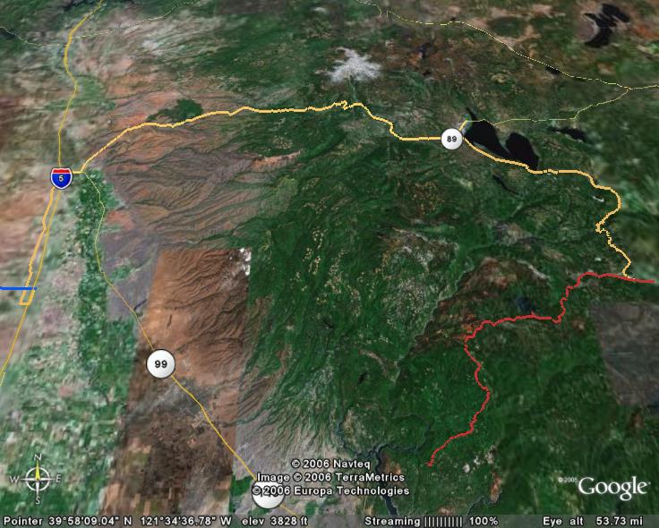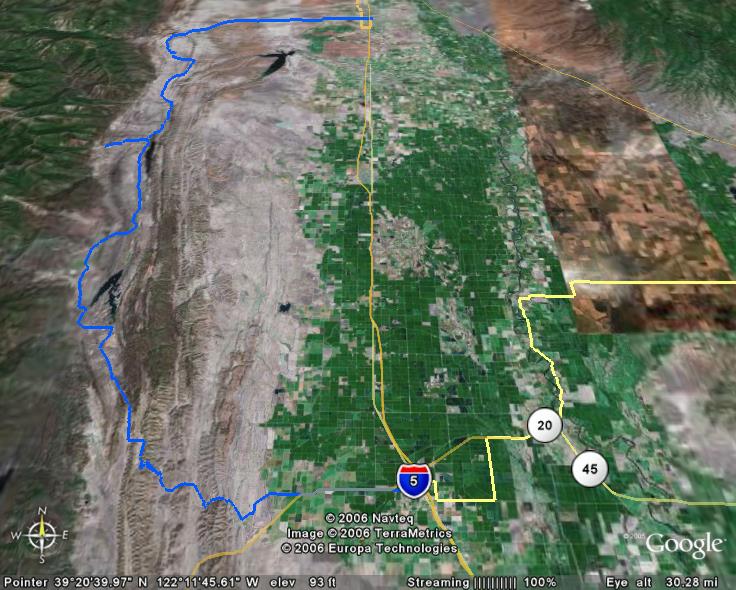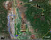
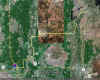
Overall aerial of the route. Click
here to download the route for Google Earth. |
Day One
Oroville to Quincy. 75 miles, 7500' of
climbing. |
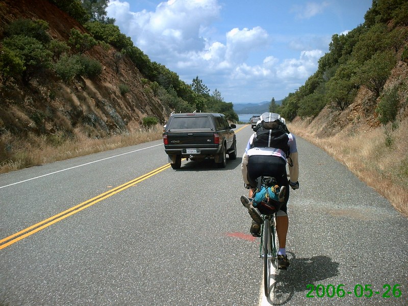
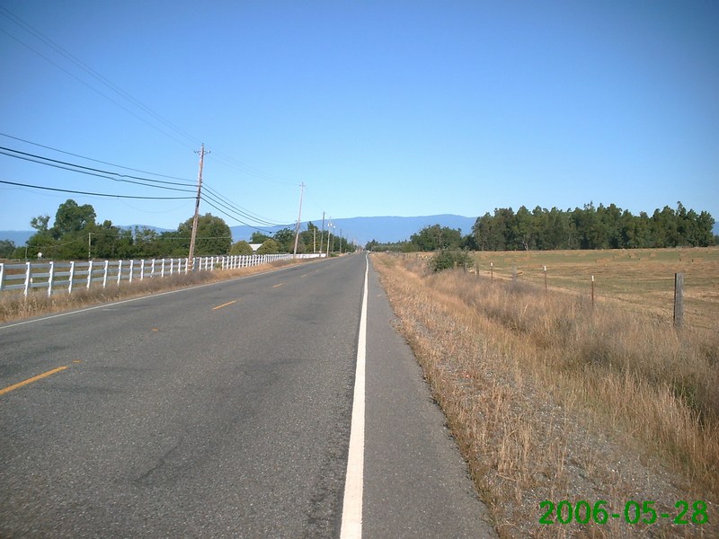
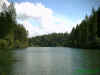
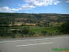
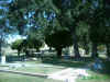
First glimpse of Lake
Oroville |
Lake Oroville |
 |
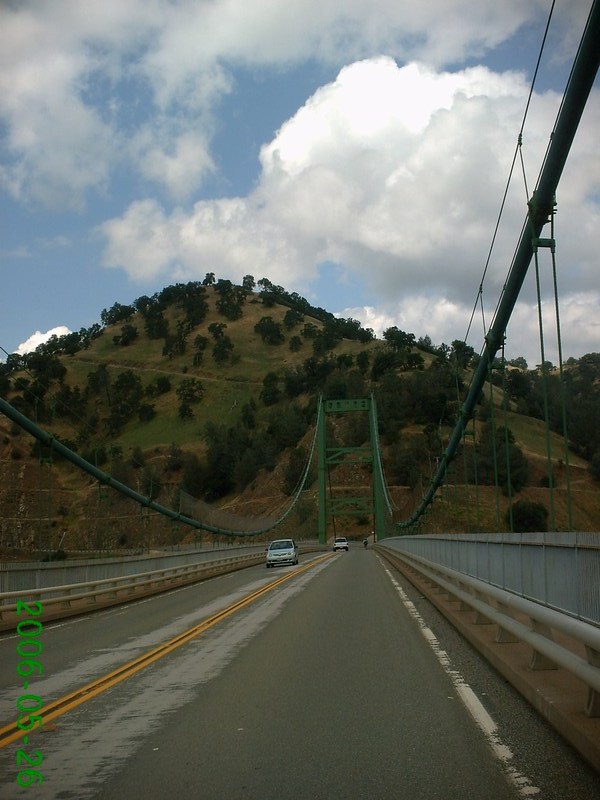
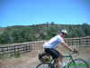
Suspension bridge over
the lake |
Lake Madrone |
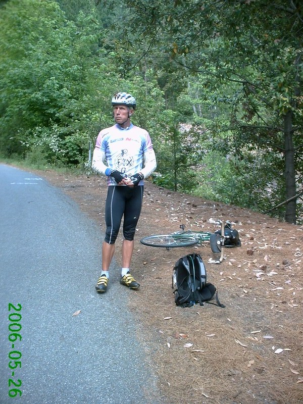
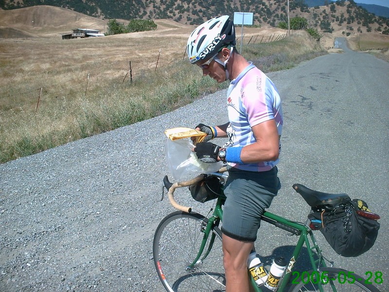
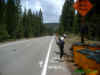
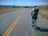
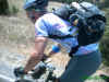
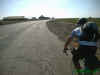
Quick rest stop on an 8%
grade |
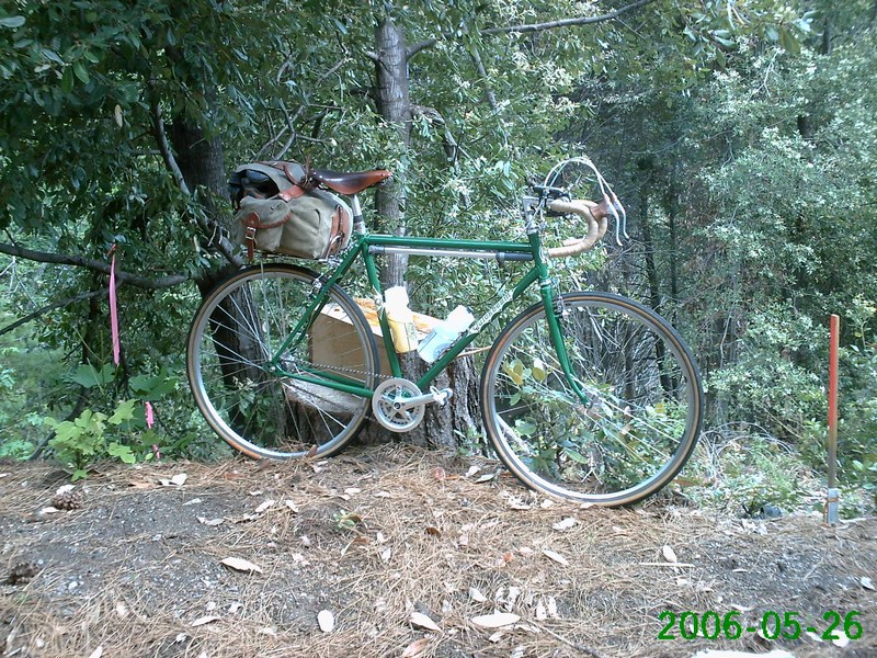
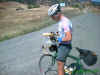
Mojo, looking cocky |
 |
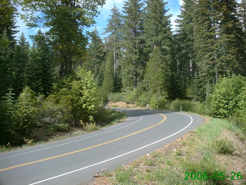
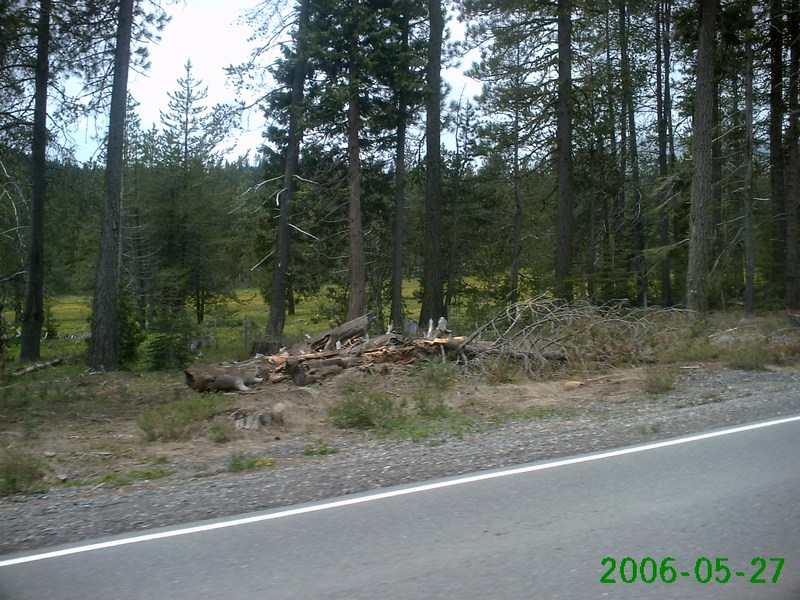
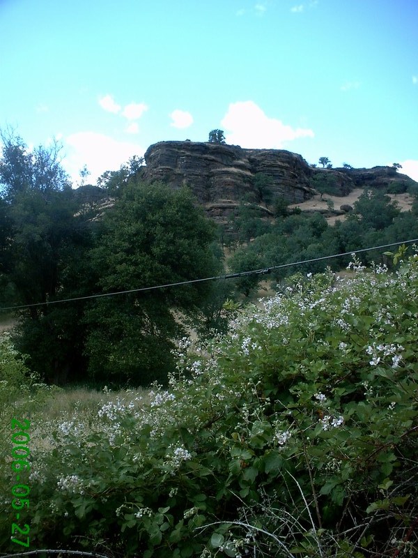
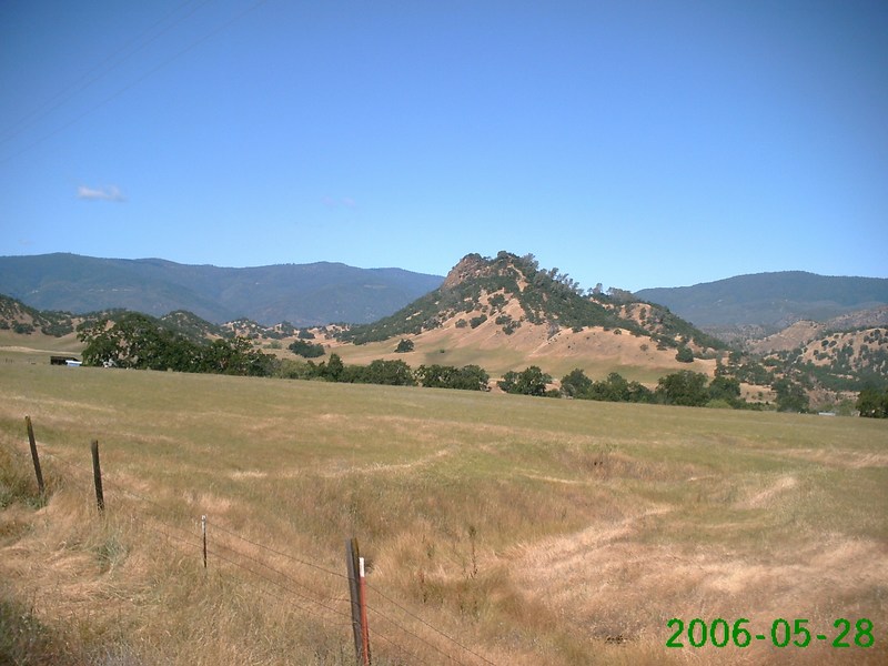
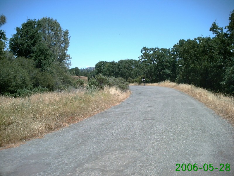
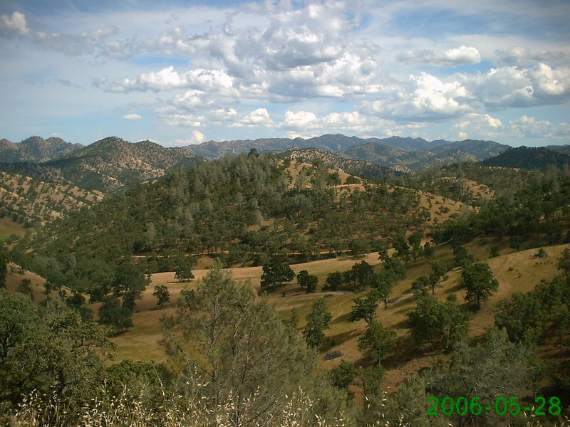
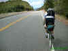
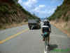
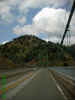
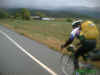
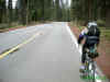
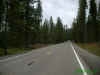
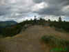
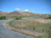
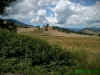
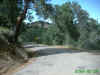
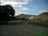
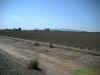
Beautiful mountain
scenery |
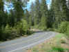 |
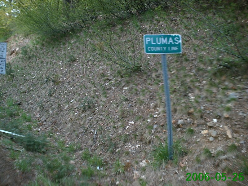
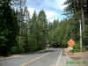
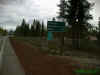
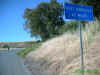
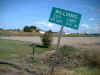
Entering Plumas County |

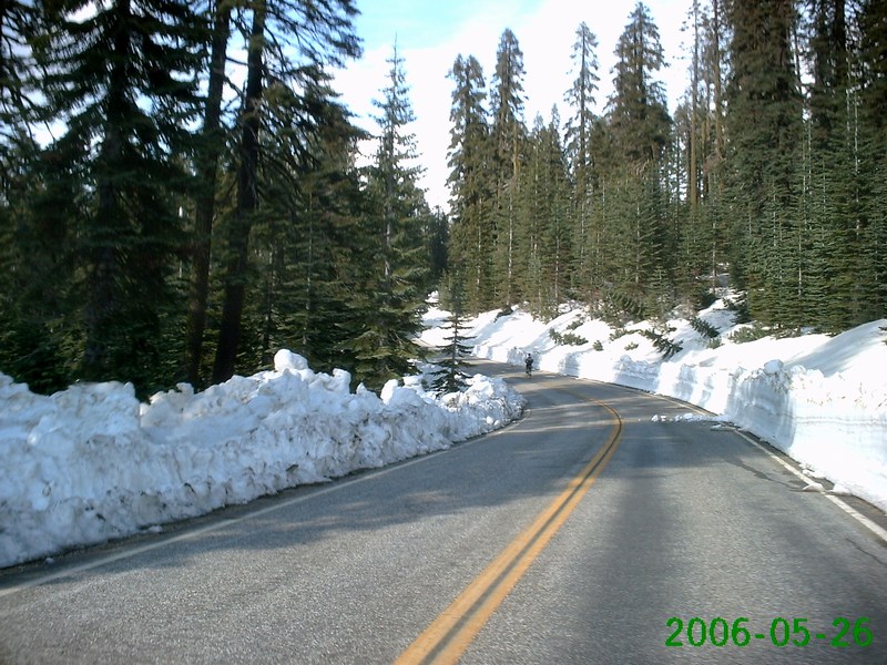
Up, up, up, but not the
summit yet |

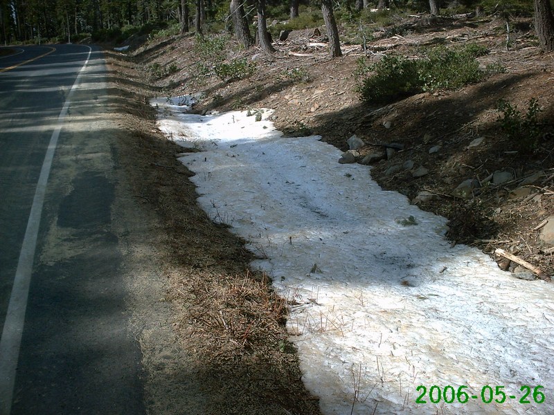
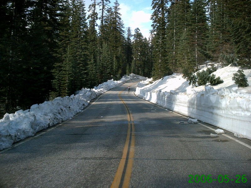
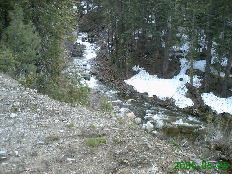
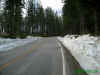
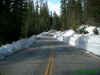
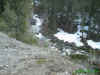
First glimpses of snow |

More snow |
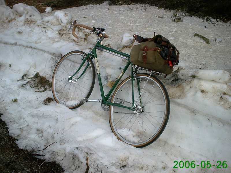
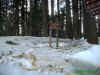
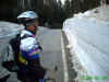
Quickbeam on ice |
 |
 |
 |
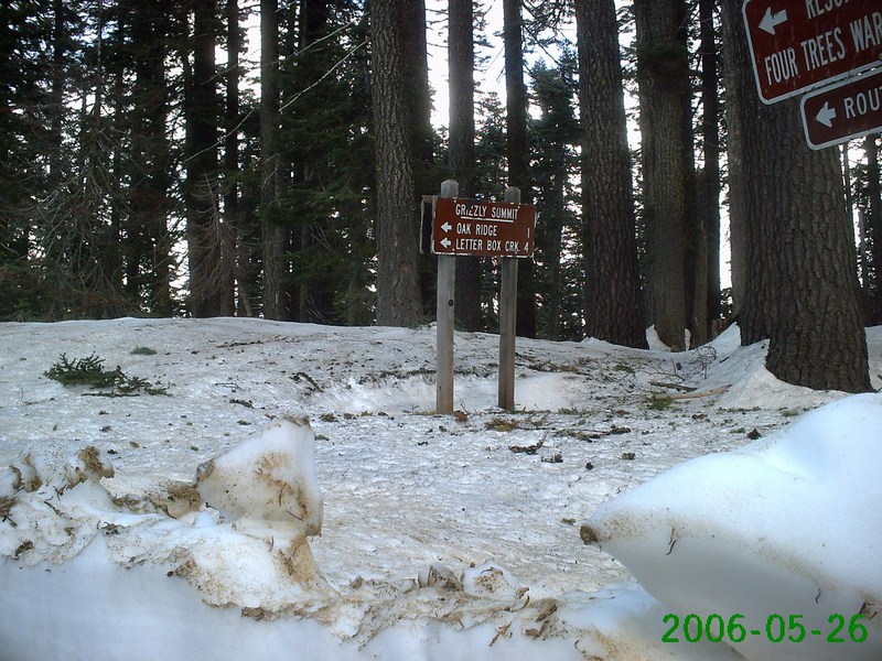
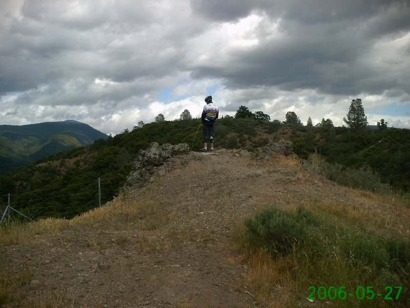
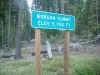
Finally at the top!
Grizzly Summit, 5,900' |
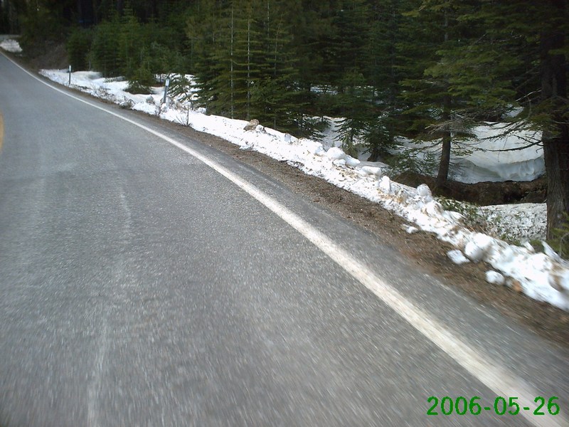
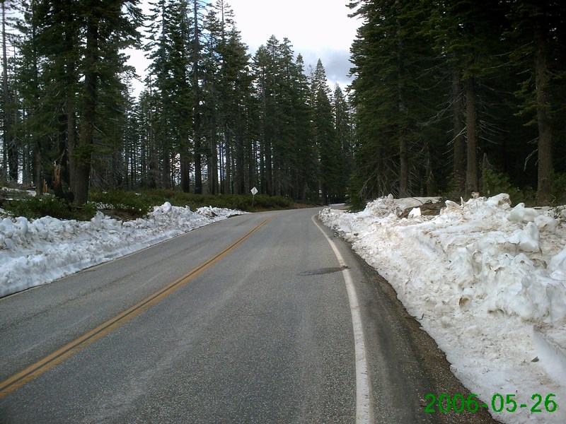
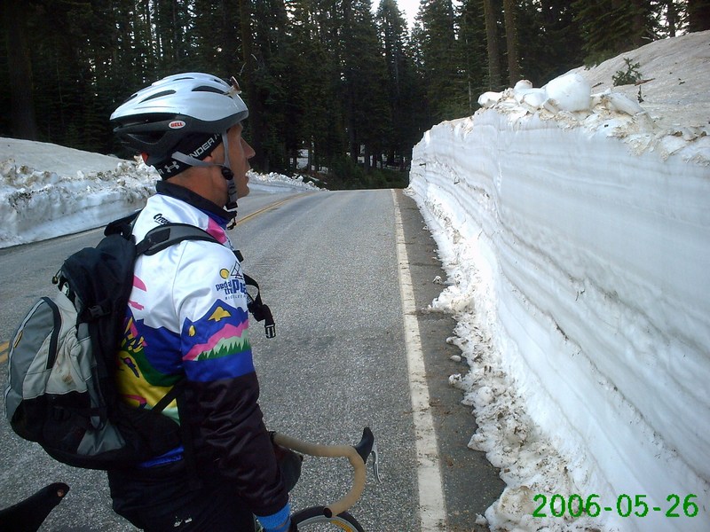
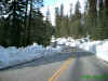
Tall snowbanks |
Video! |
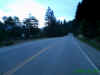
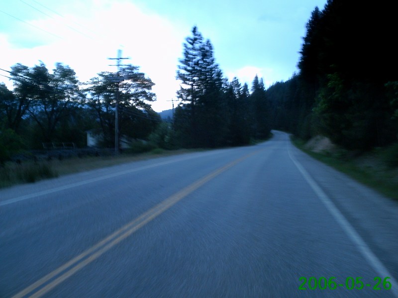
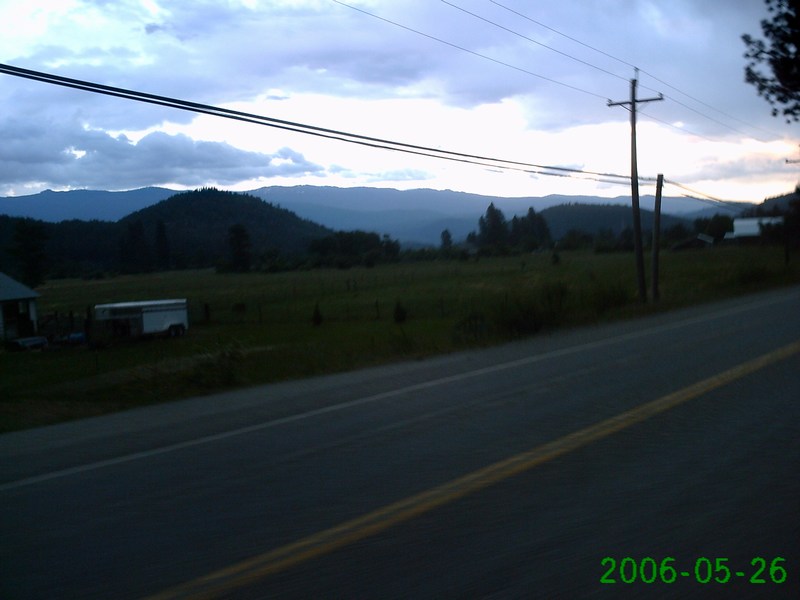
Almost in Quincy |
 |
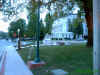
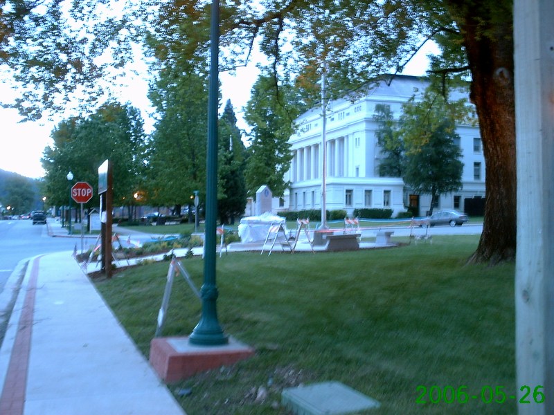
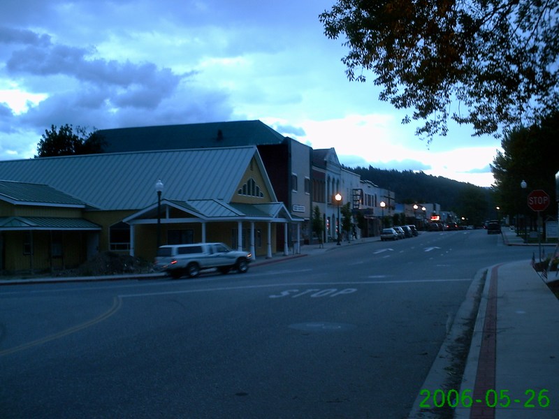
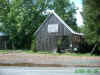
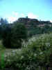
Quincy courthouse |
Historic downtown Quincy |

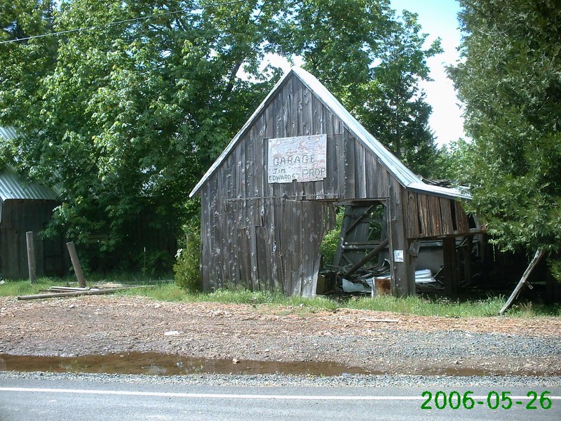
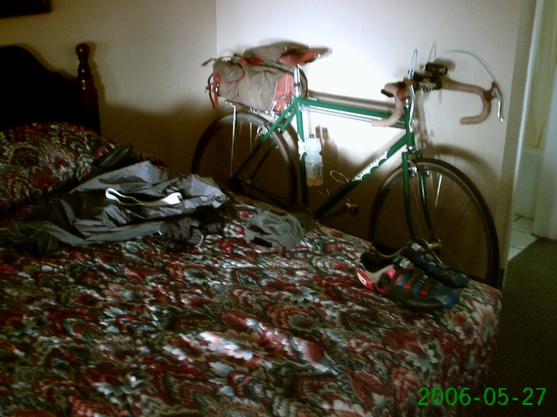
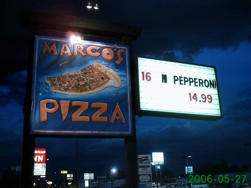
Dinner stop Friday |
Some
very heavy rain came in Friday night, starting just a short time
after we got to our hotel. Lightning and thunder, heavy rain,
even some hail! |
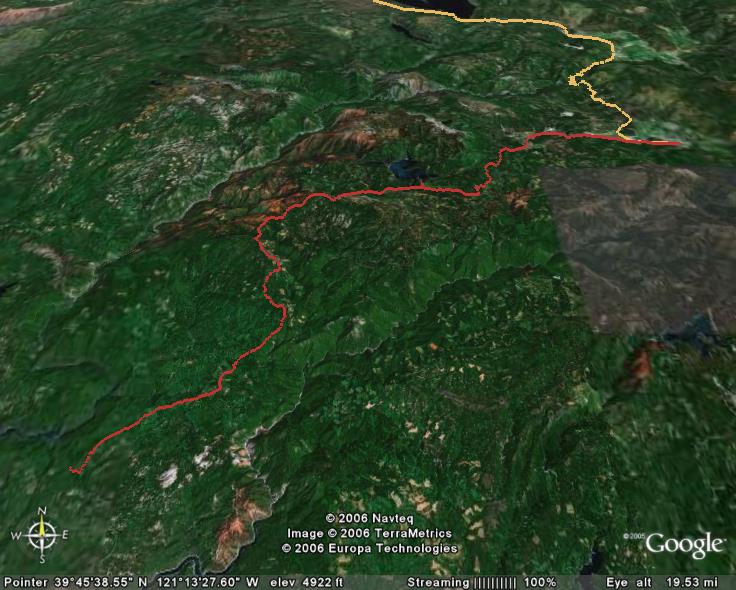
Day Two: Quincy to
Corning. 145 miles, 7,800' climbing |

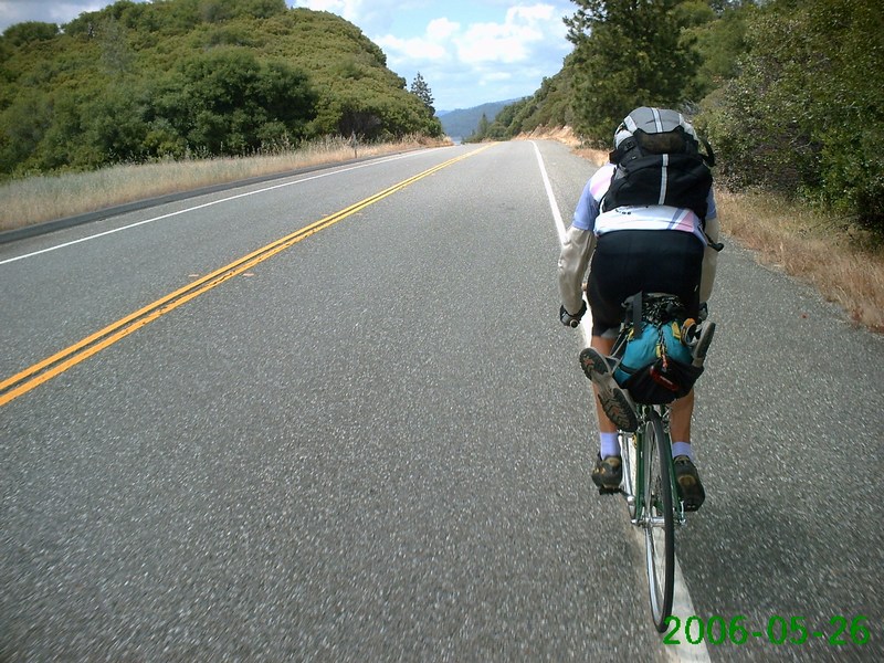
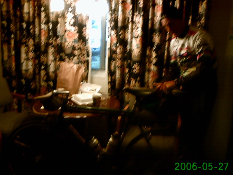
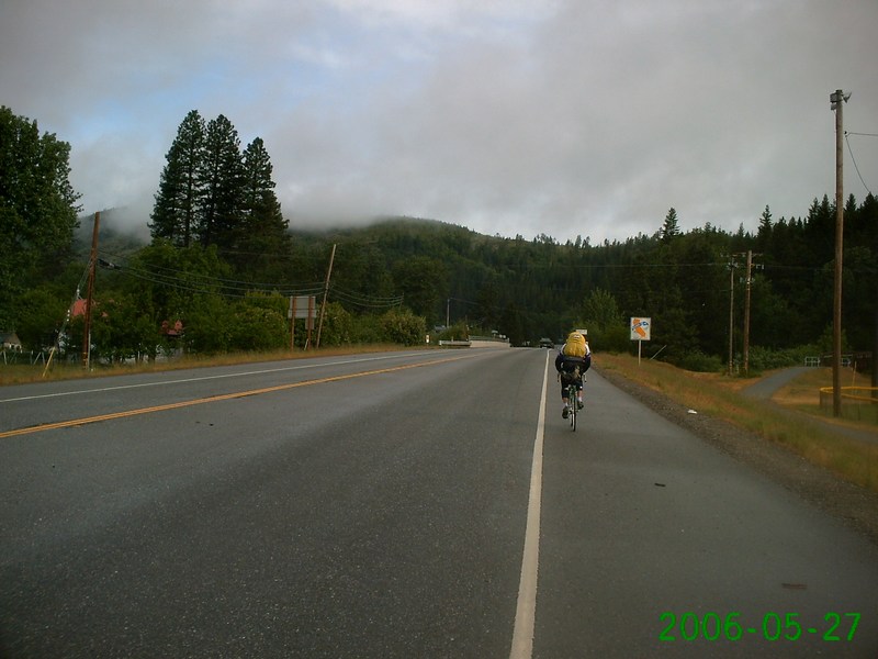
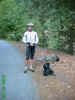
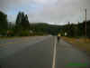
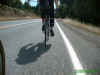
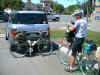
Getting ready to ride
Saturday morning |
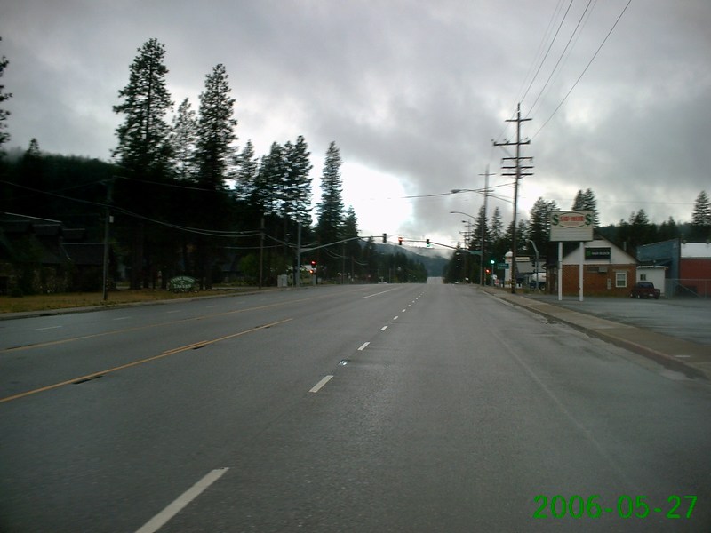
Heading for downtown
Quincy |
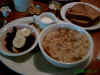
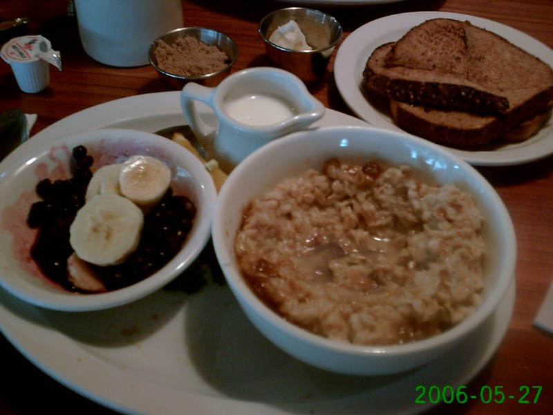
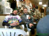
Breakfast |

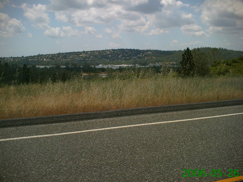
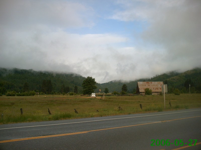
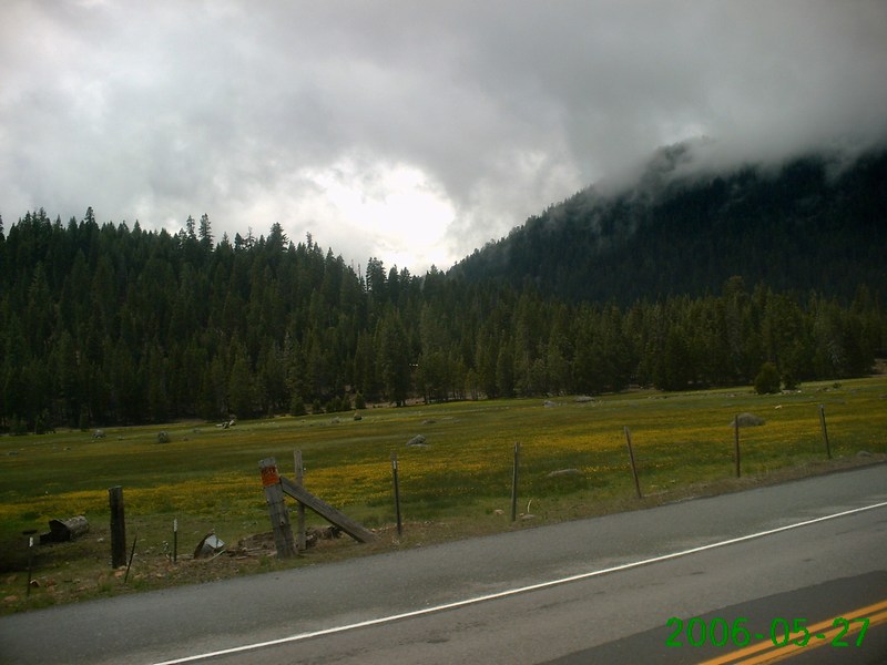
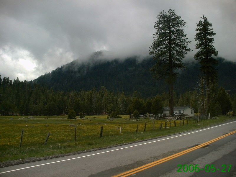
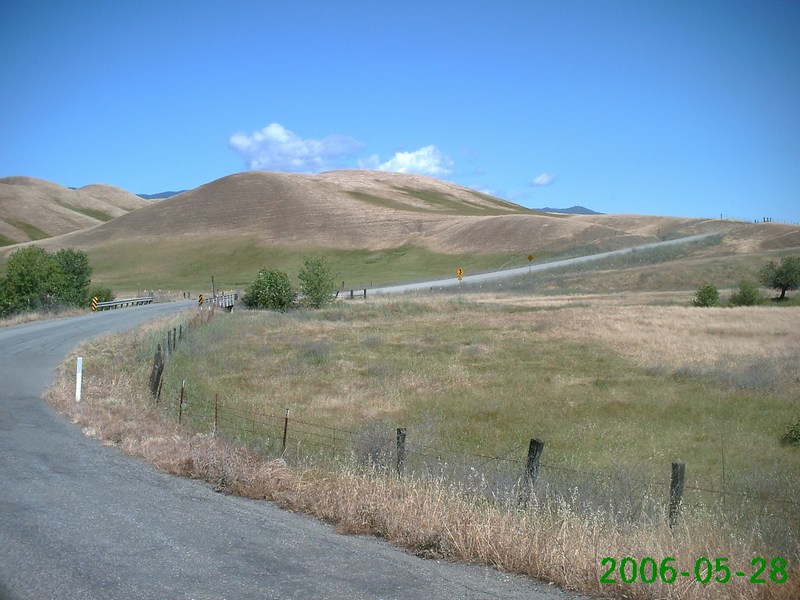
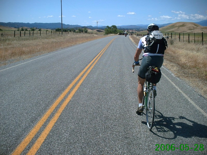
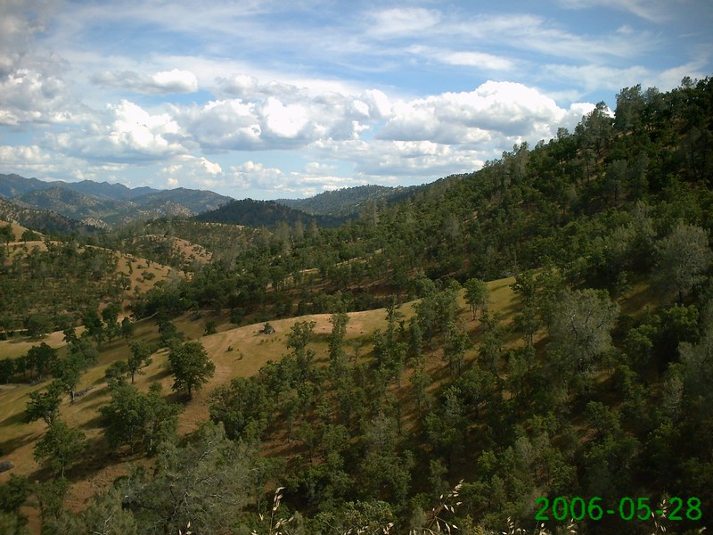
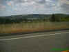
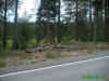
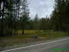
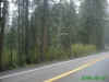
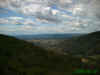
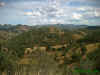
There was so much
gorgeous scenery, it was hard to decide what to take pictures of |
 |
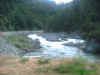
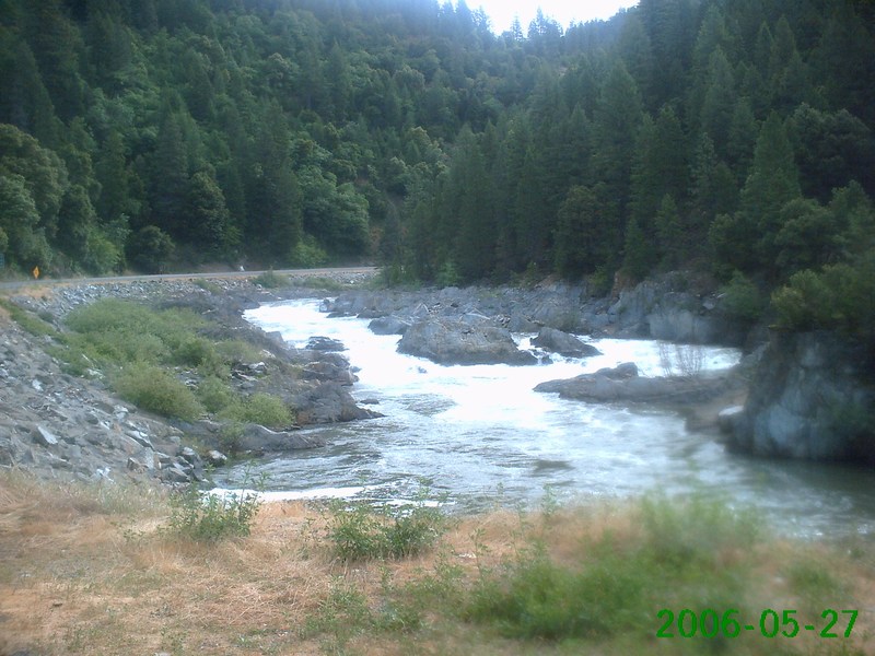
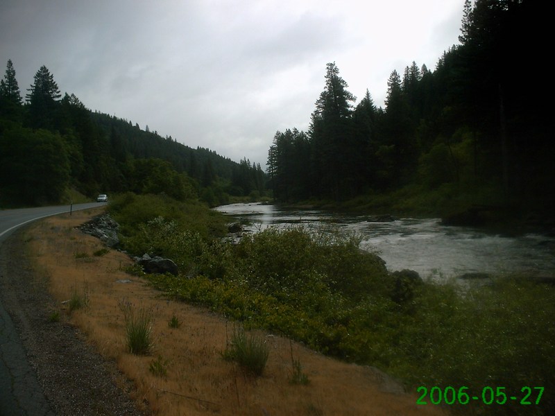
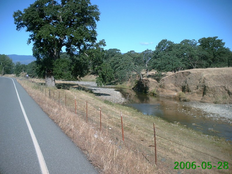
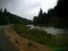
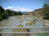
We rode along this river |
 |
 |
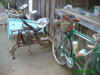
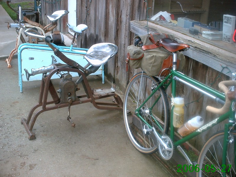
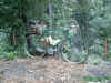
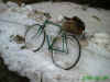
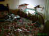
Saw this old school bike
trainer in Canyon Dam |
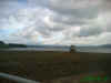
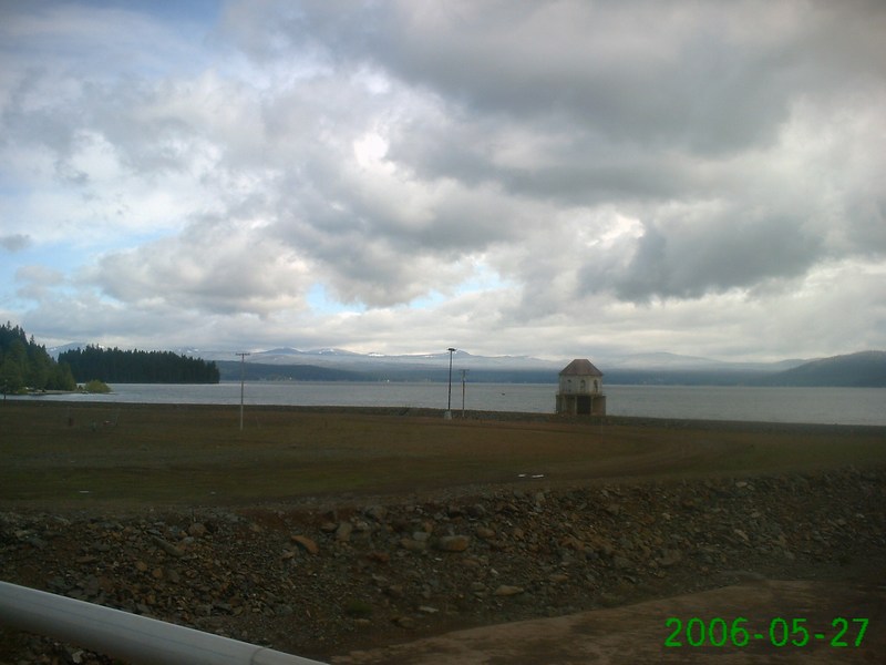
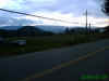
Lake Almanor |
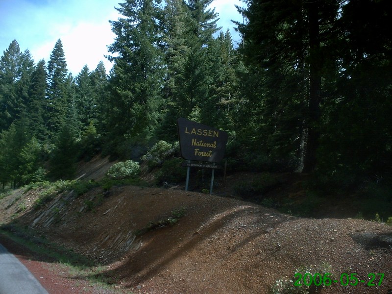
Entering the Lassen
National Forest |
Next stop, Chester |
 |
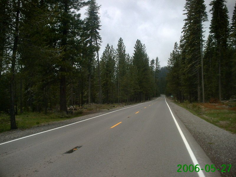
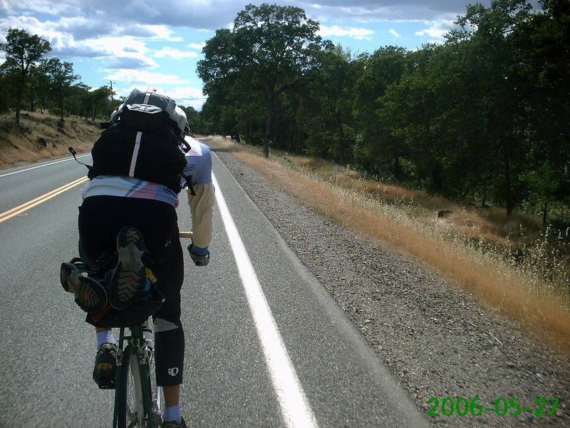
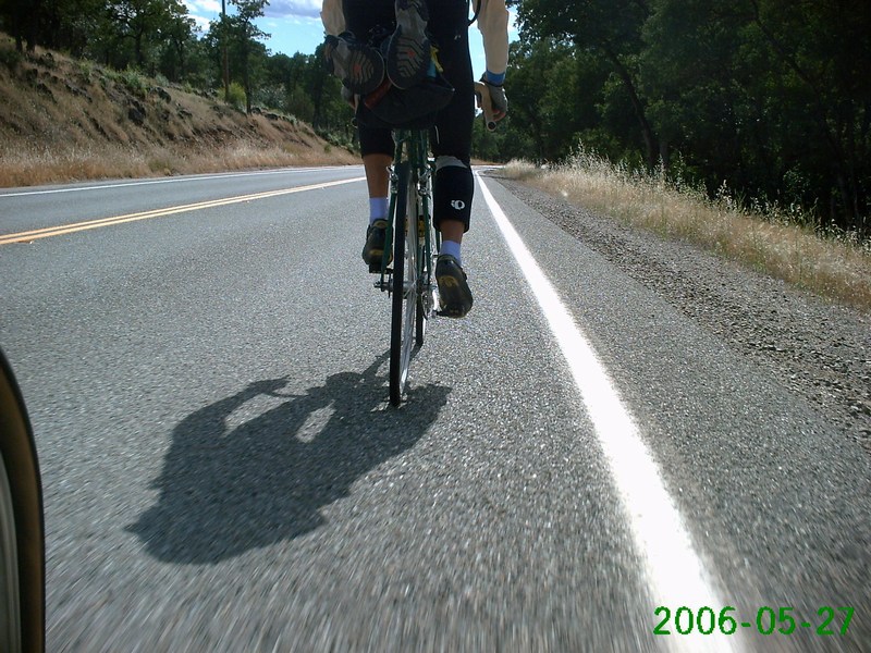
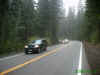
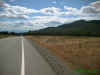
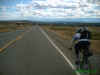
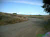
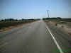
More uphill today |

View the larger photo to
see the words on this traffic barricade |
 |
 |
 |
 |
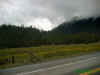
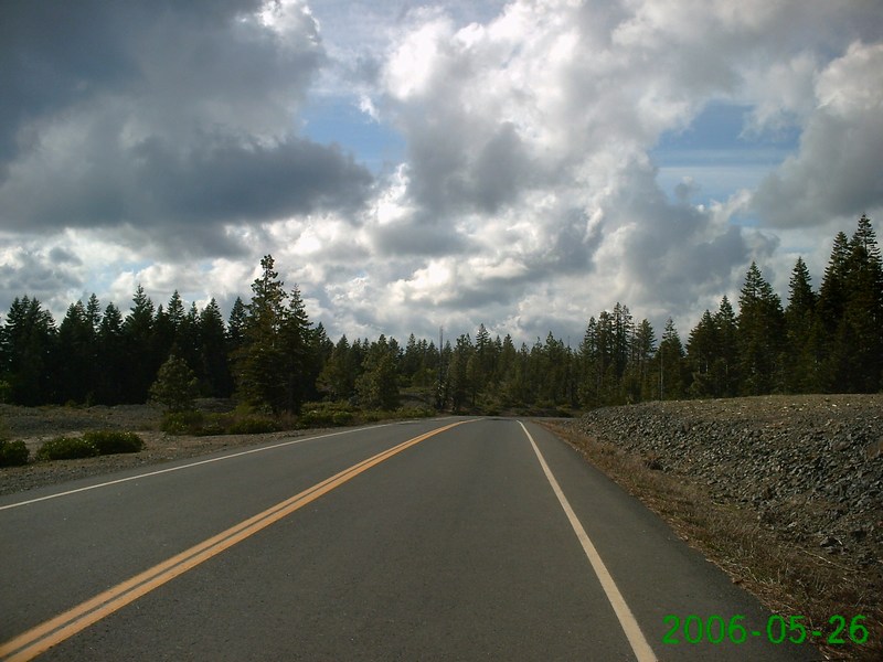
Those clouds would soon
be dropping snow on us |
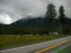 |
It's a little hard to
see, but there's snow coming down in these photos. We were snowed
on several times today |
 |
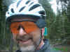
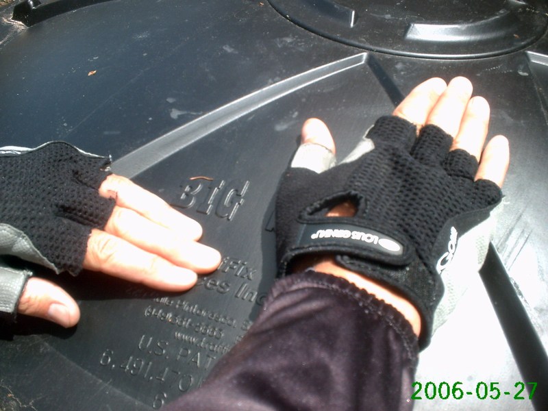
Gratuitous photo of the
Campy Only Guy. That's melted snow on my glasses |
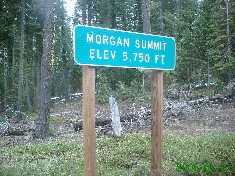
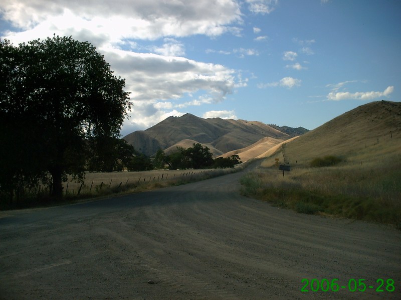
Morgan Summit, 5,750 feet |
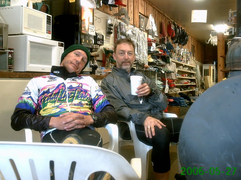
Drying off in Mineral |
Warming up with hot
chocolate in Mineral |
On the way down to Red
Bluff |
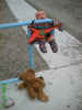
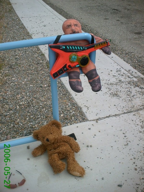
Somebody left these toys
at the vista point |
 |
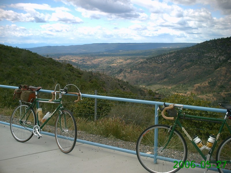
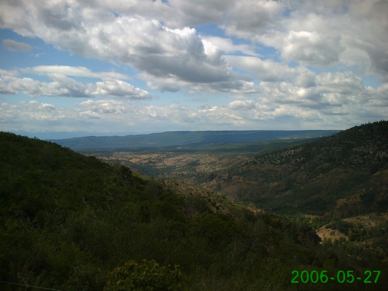
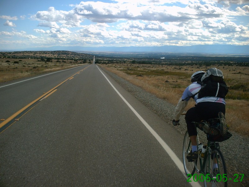
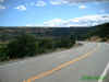
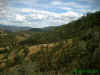
Great view of the valley
below |
 |
 |
 |
 |
 |
 |
 |
Long, long, downhill. Too
bad we couldn't coast down it |
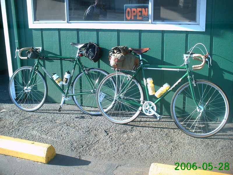
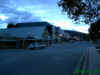
At the hotel in Corning |

Dinner stop |

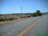
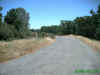
Day Three: Corning to
Williams. 111 miles, 3,500' climbing |
 |
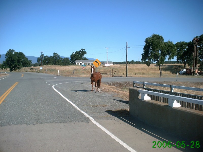
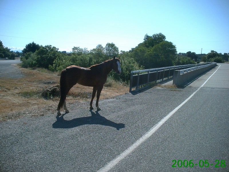
 |

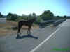
This horse was just wandering
around |
 |
 |
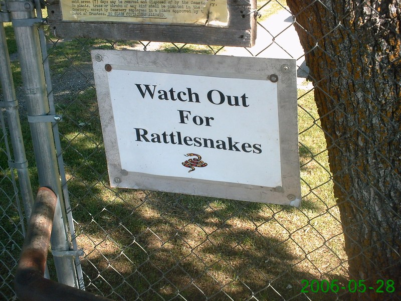
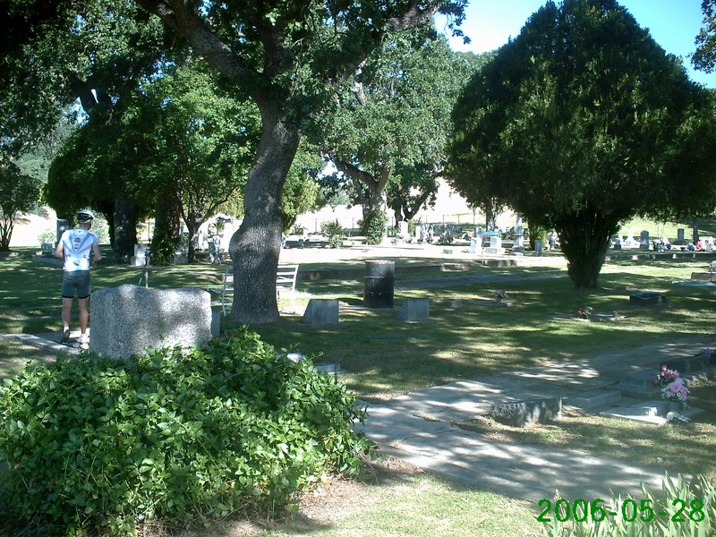
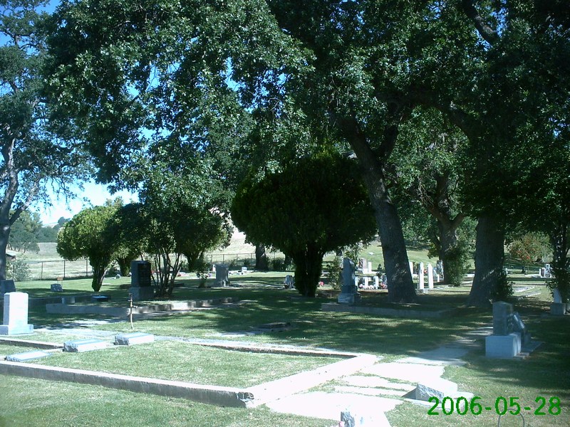
Sign at the Paskenta
Cemetery |
Actually a very nice
place to be buried |
 |
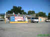
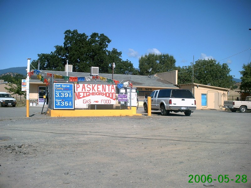
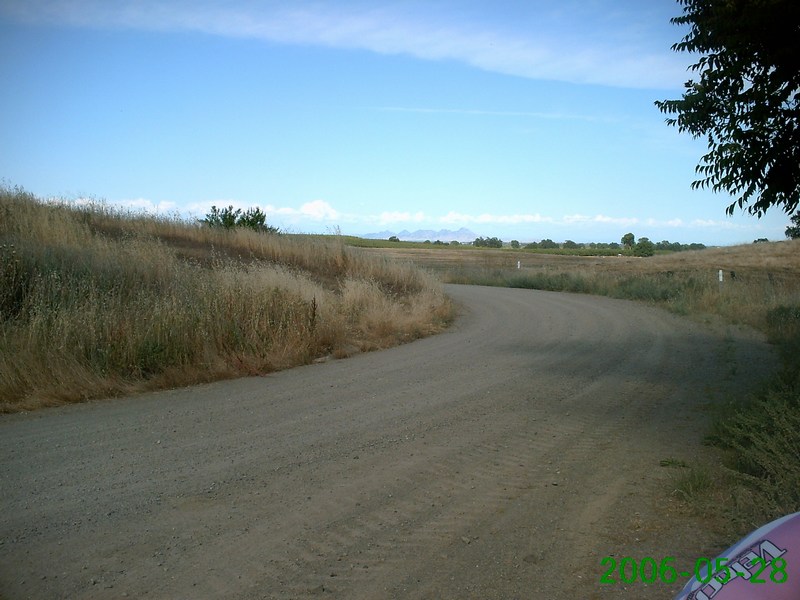
Paskenta store |
Next services, 62 miles
... |
 |
Mojo checks the map
before we continued south |
 |
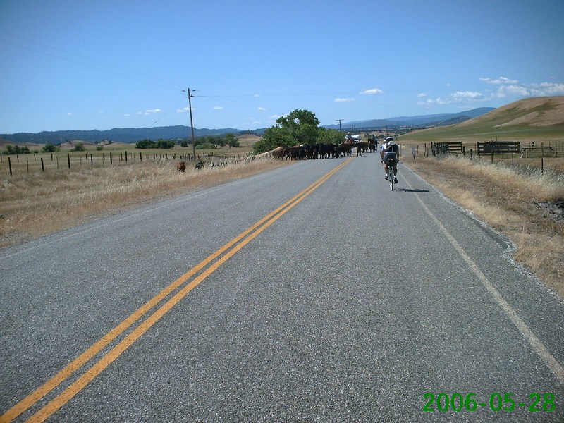
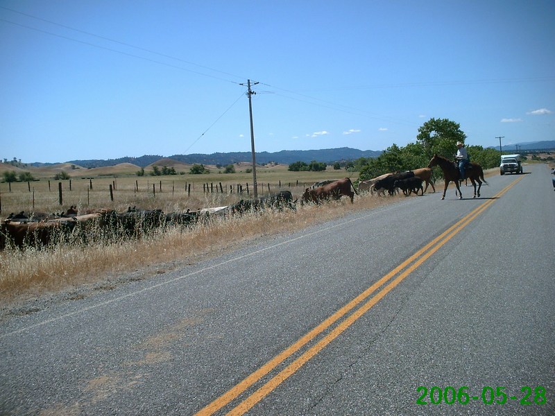
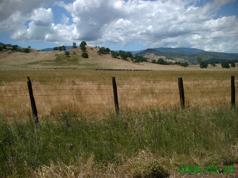
These three shots show a
cattle drive that was taking place in the road |
|
 |

Video! |
 |
 |
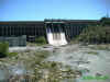
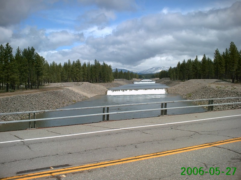
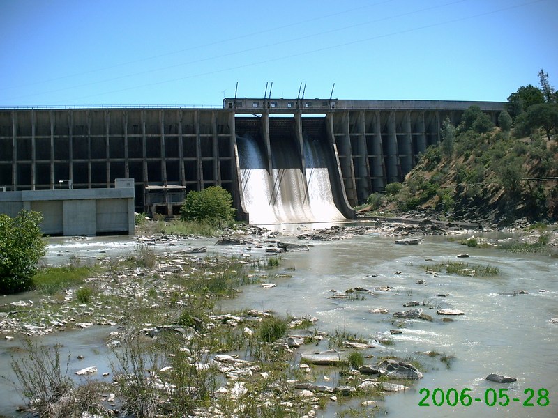
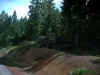
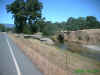
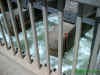
The dam at Stony Gorge Reservoir |
Looking downstream from
the dam |
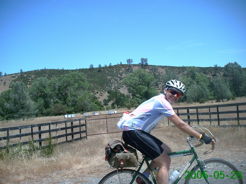
Gratuitous action shot of
Campy Only's Eric Norris |
Video!
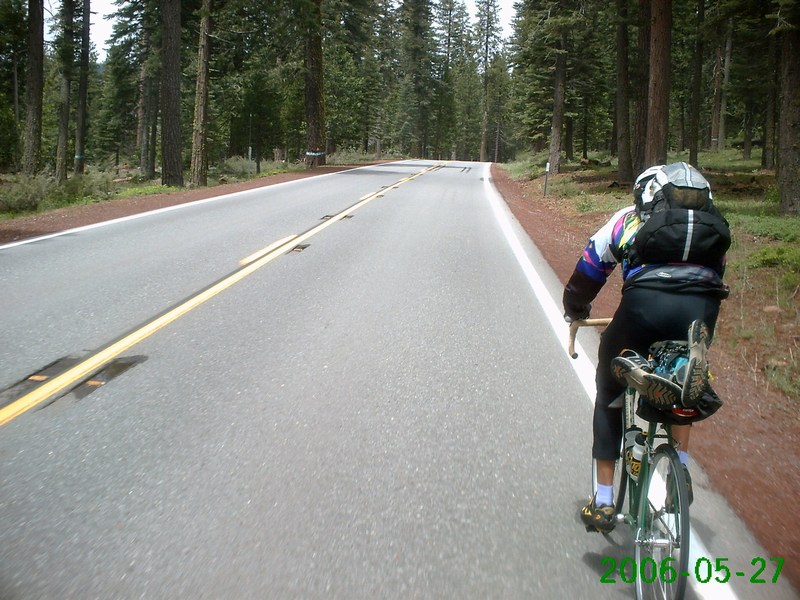
Mojo hammers |
 |
 |
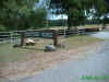
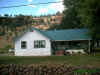
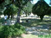
Stonyford Ranch |
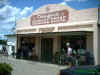
Beautiful downtown
Stonyford, California |
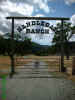
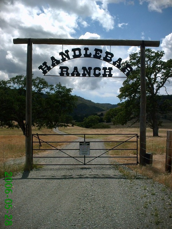
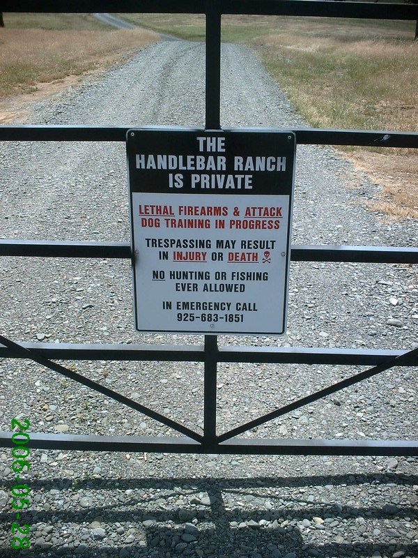
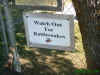
The Handlebar Ranch ... |
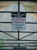
... where they're not at
all friendly. Read their warning sign. |
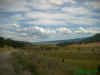 |
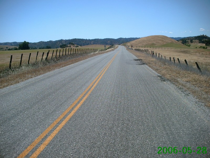
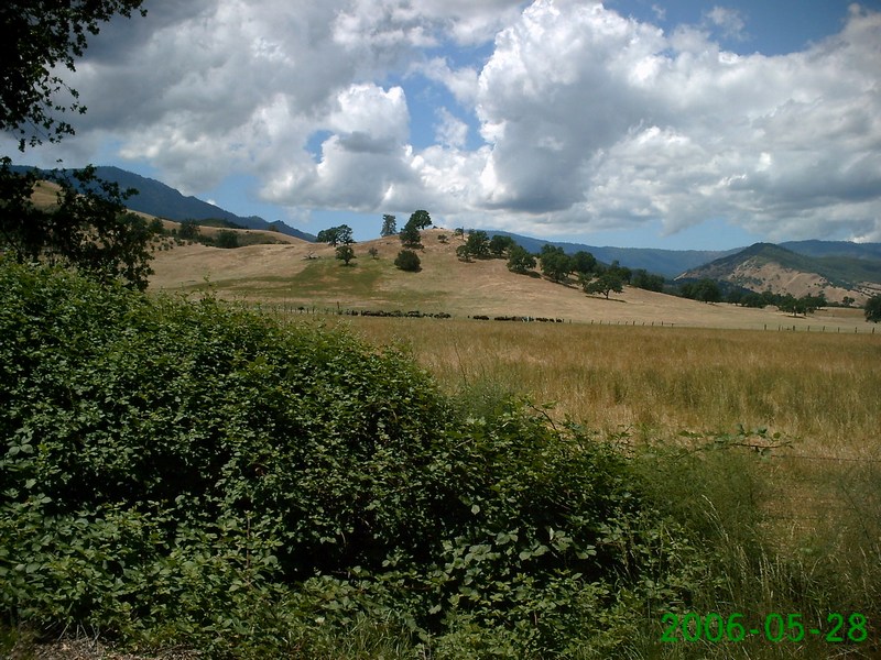
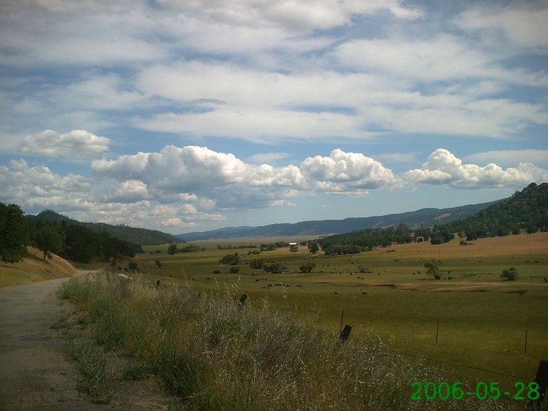
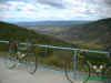
The summit at Windy Gap |
This was a truly
spectacular scene. The photos hardly do it justice. |
 |
 |
 |
Video!
A few miles outside of Williams, we came across a guy we
called the "Snake Whisperer." In this video, he is
using a shovel to move a rattlesnake off the road (so it
wouldn't get run over) |
 |
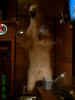
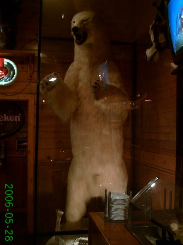
Yesterday, snow. Today, a polar bear (at Granzella's
restaurant in Williams) |

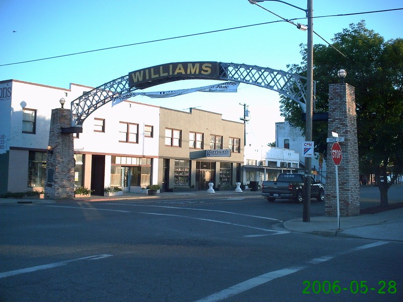
Downtown Williams |
|
|
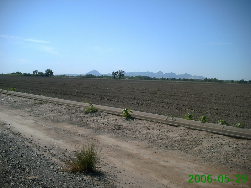
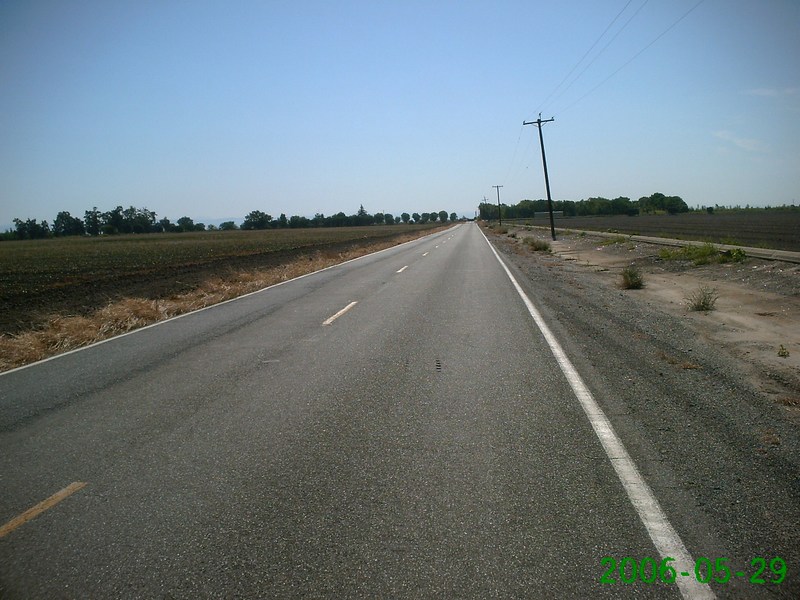
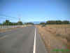
Day Four: Williams to Oroville. 59
miles, 1,500' climbing |
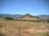
First view of the Sutter Buttes |
 |
 |
Video! |
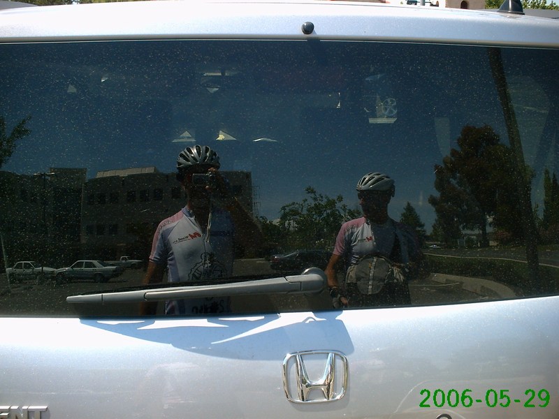
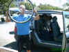
Back where we started. |
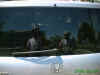
Self-portrait in the rear
glass |
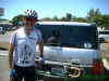
Gratuitous finishing shot |
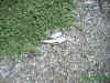
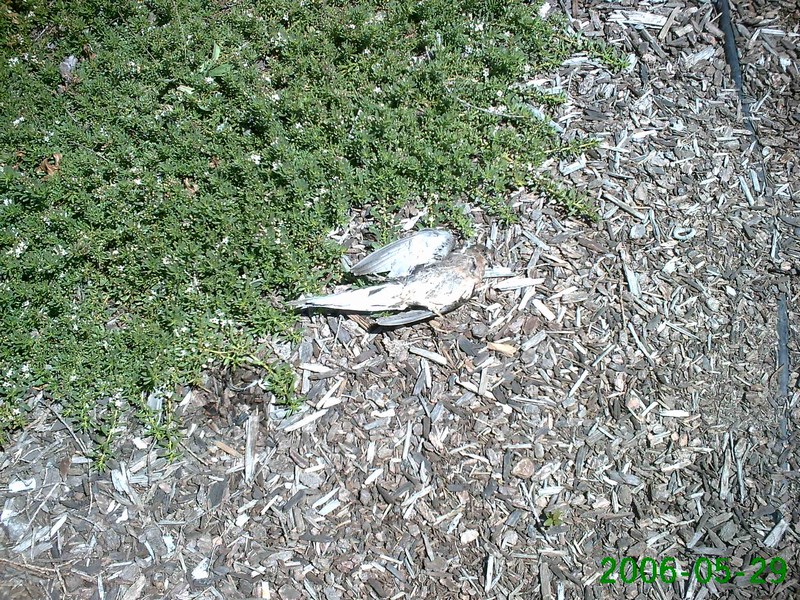
This dead bird was there
when we started, and still there when we finished |
It's a Circle of Life
kind of thing ... |
|
|