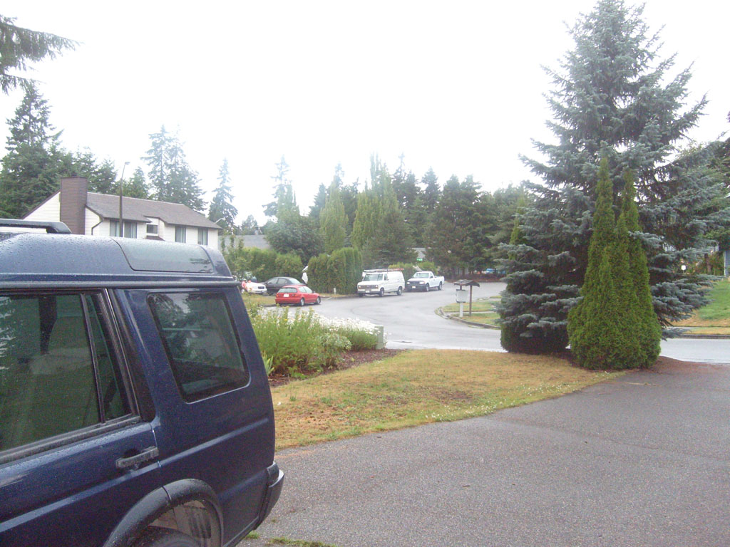
Starting point in Kent,
WA (a little south of Seattle) |

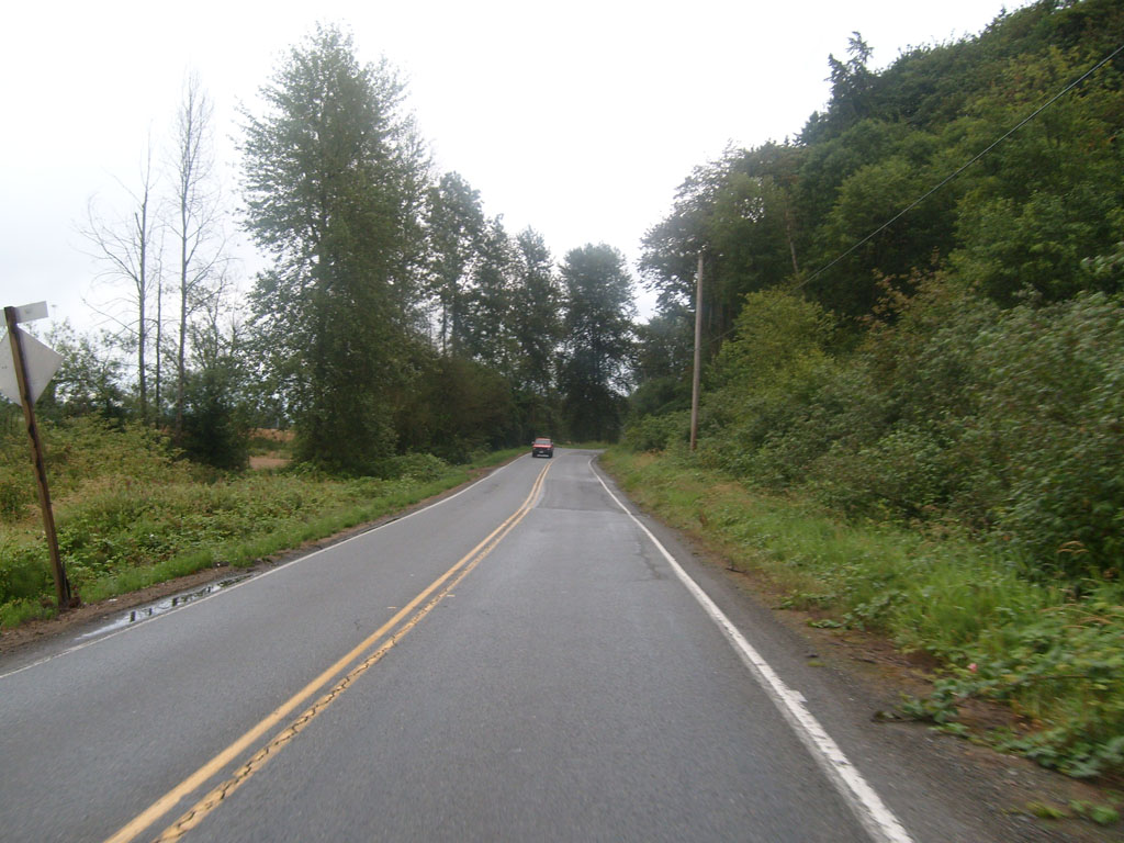
Roads were wet for about
the first 30 miles |

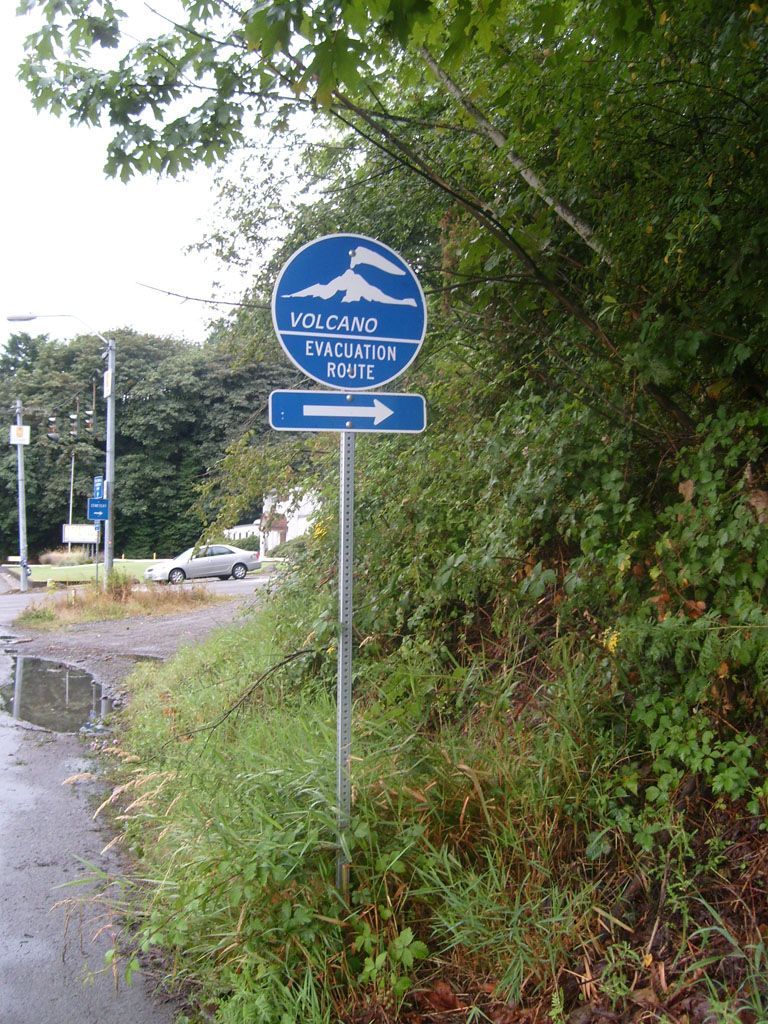
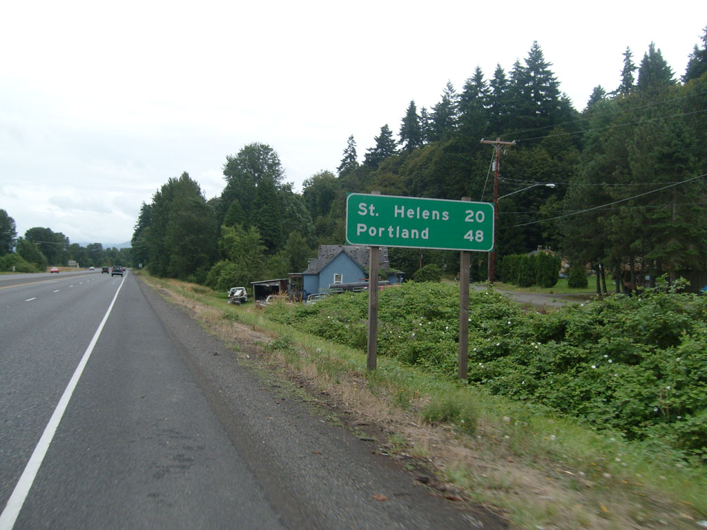
Volcano evacutation route |

First glimpse of the
Cascades, off in the distance |
 |

First glimpse of a shadow |
 |

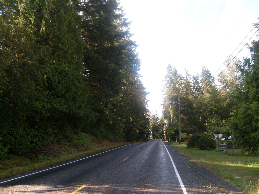
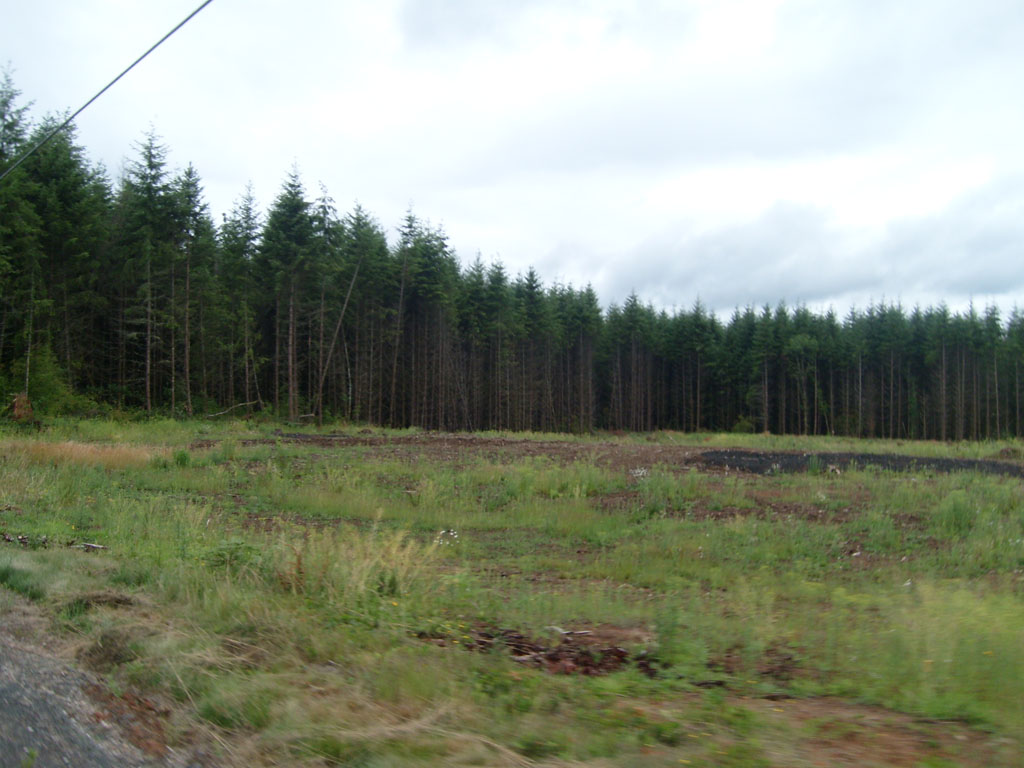
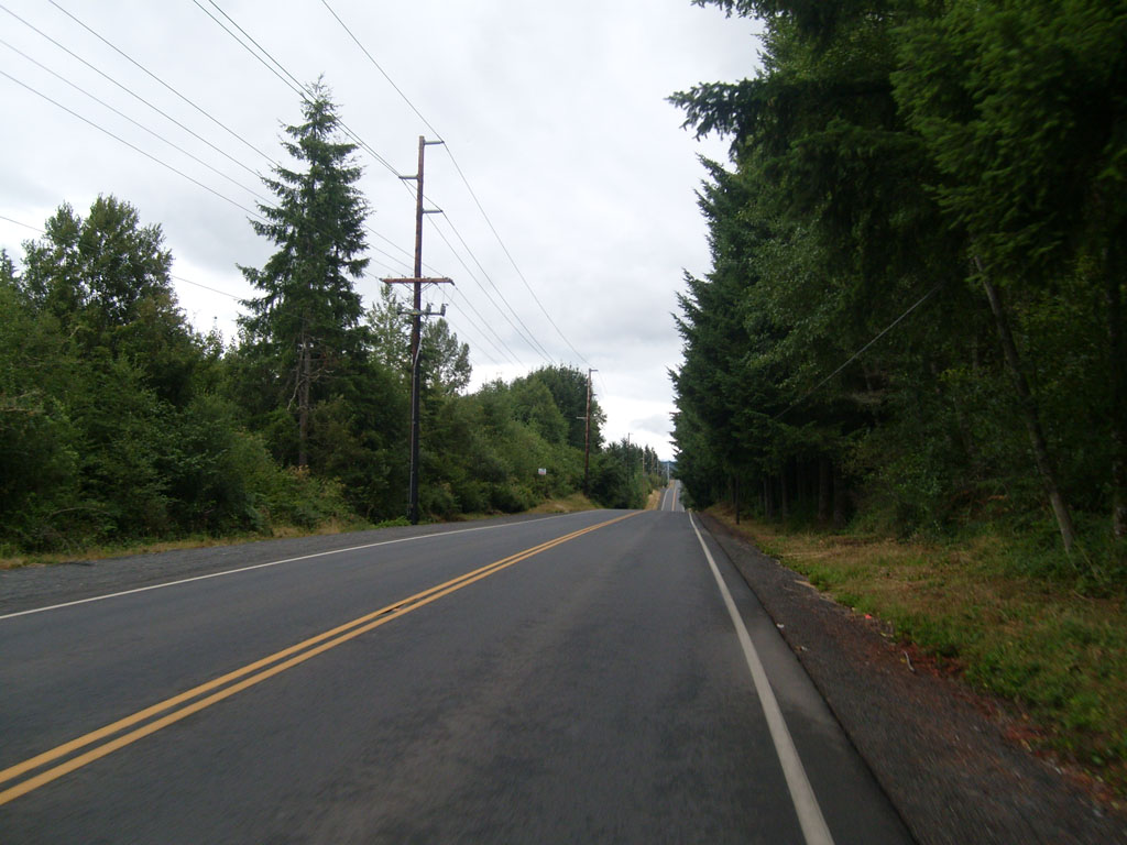
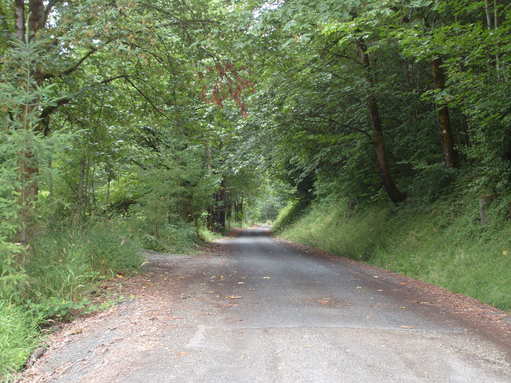
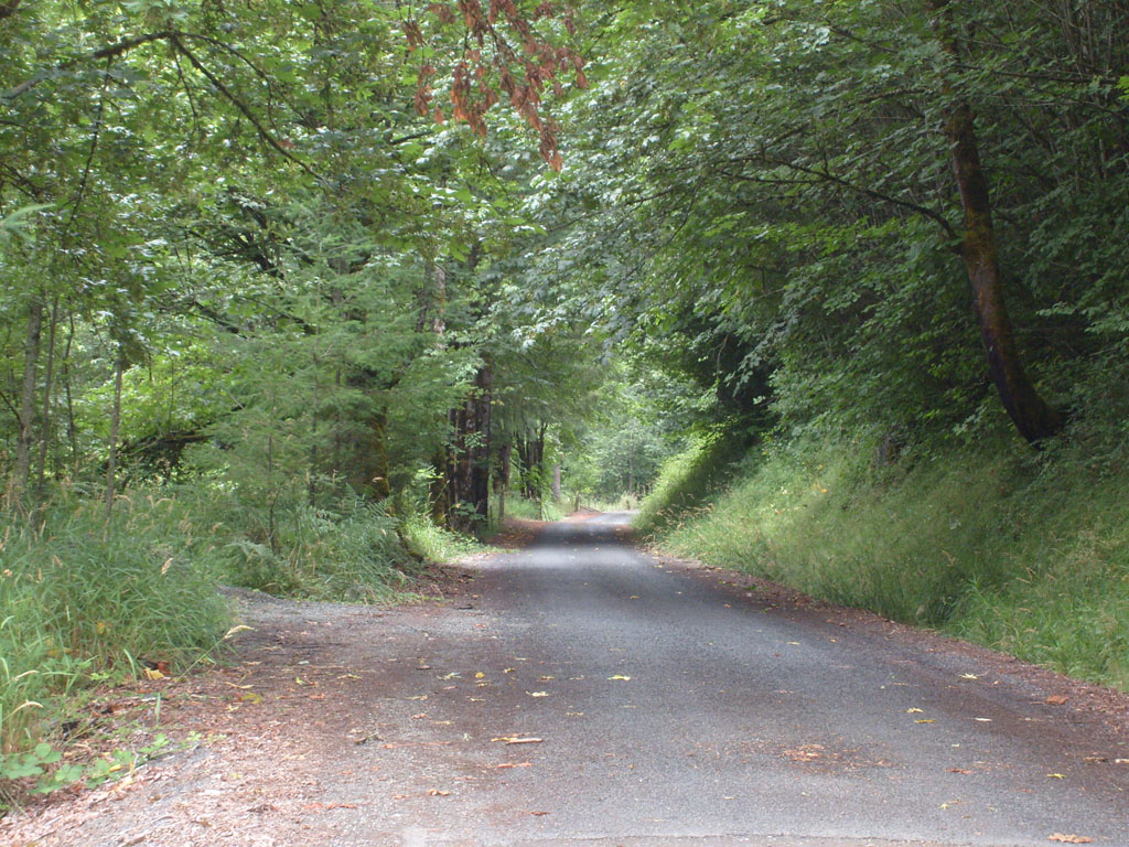
Lots of trees |
 |
 |
 |

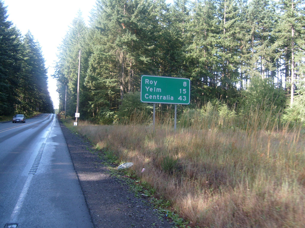
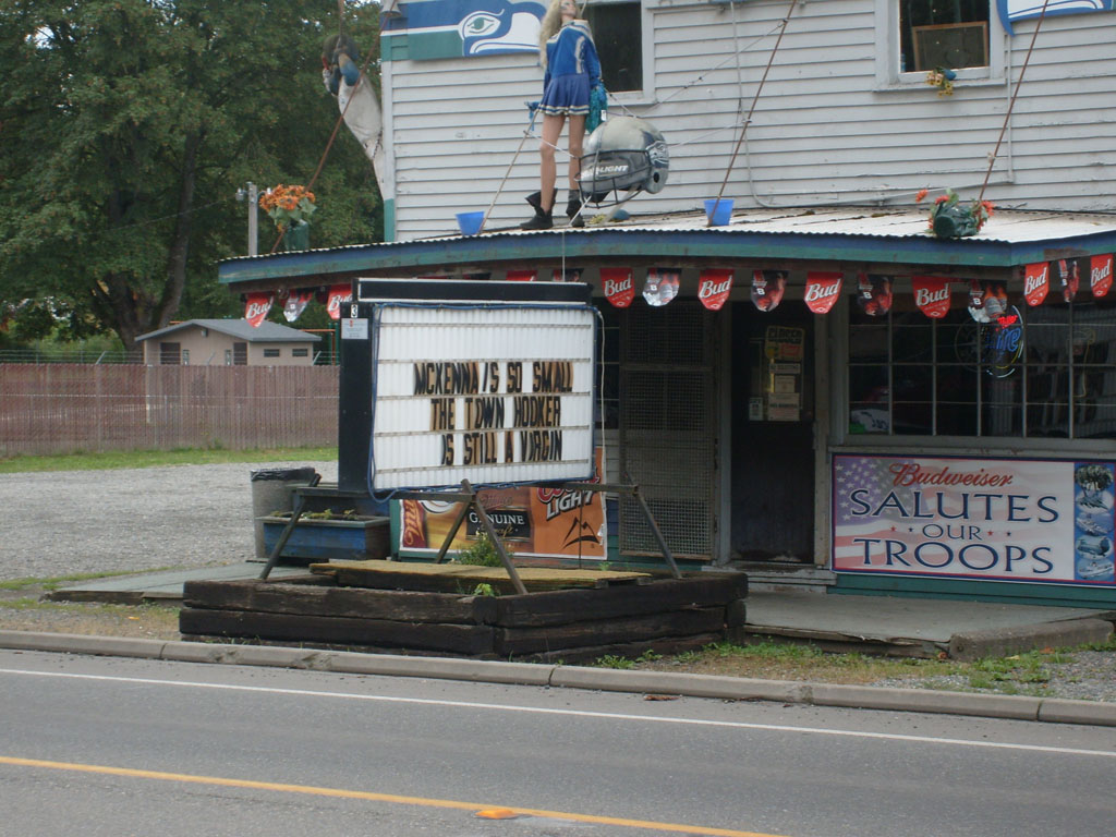
Tiny McKenna |

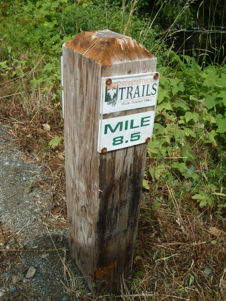
Read this sign |

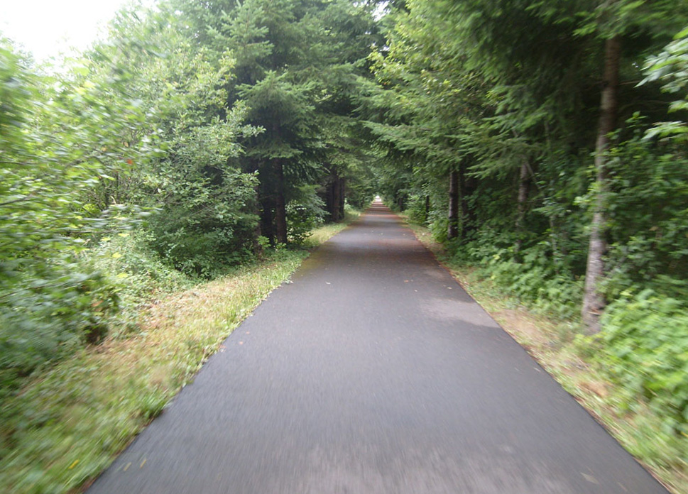
Bike path south of
McKenna |
 |
 |

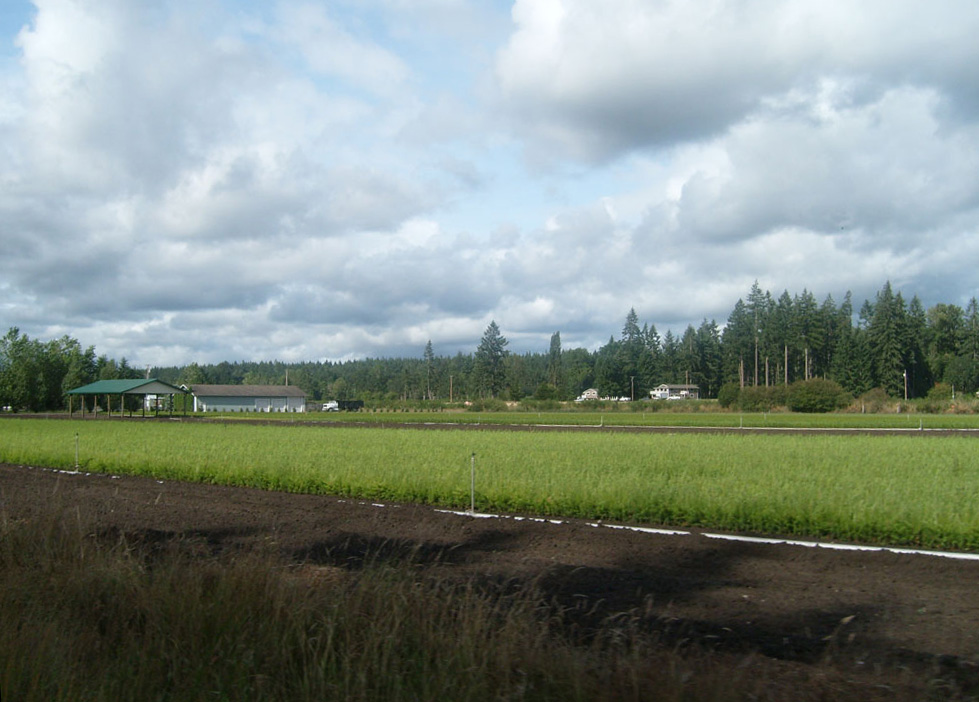
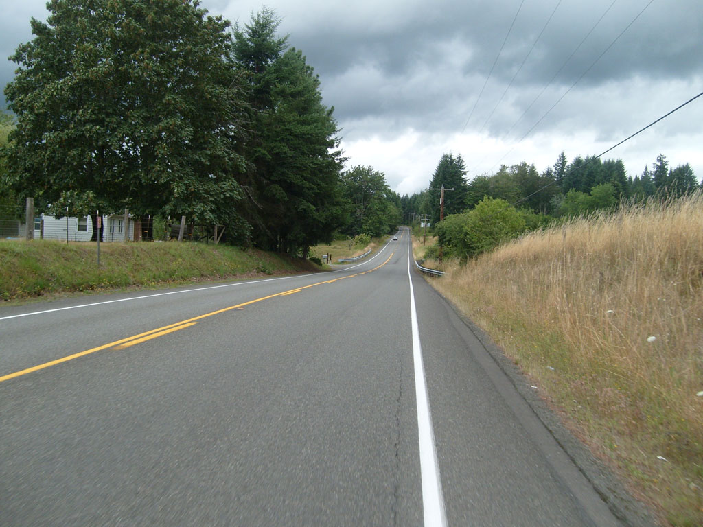
Nice view from the bike
path |
 |
 |

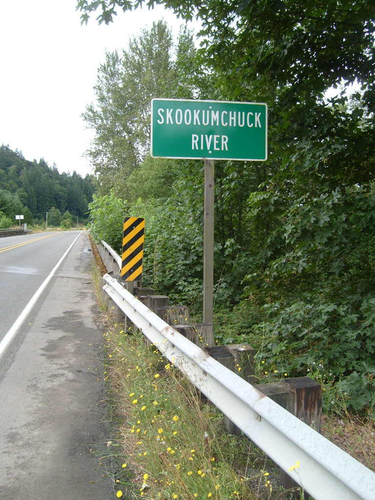
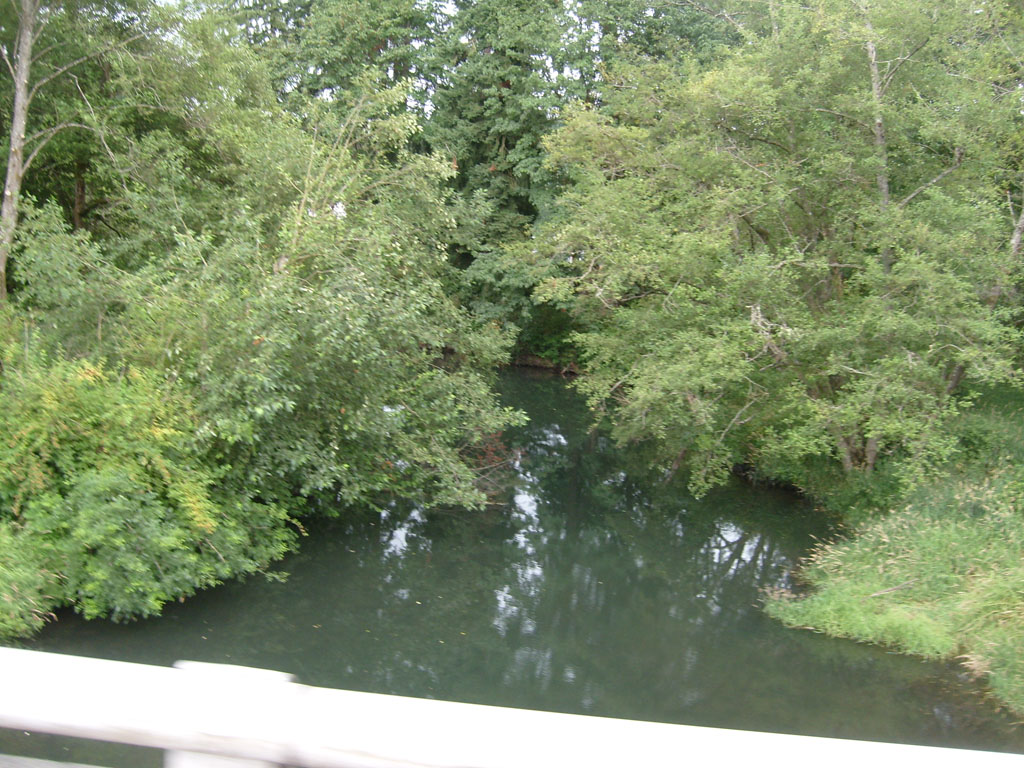
Skookumchuck River |
 |

Entering Centralia, the
halfway point on the ride |

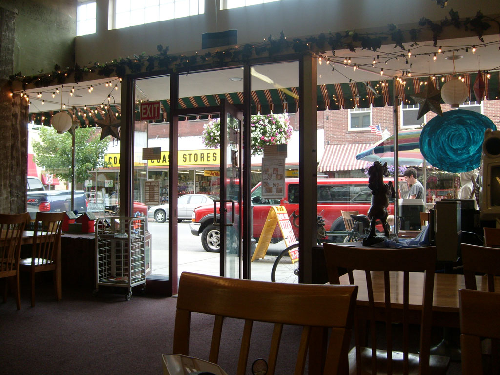
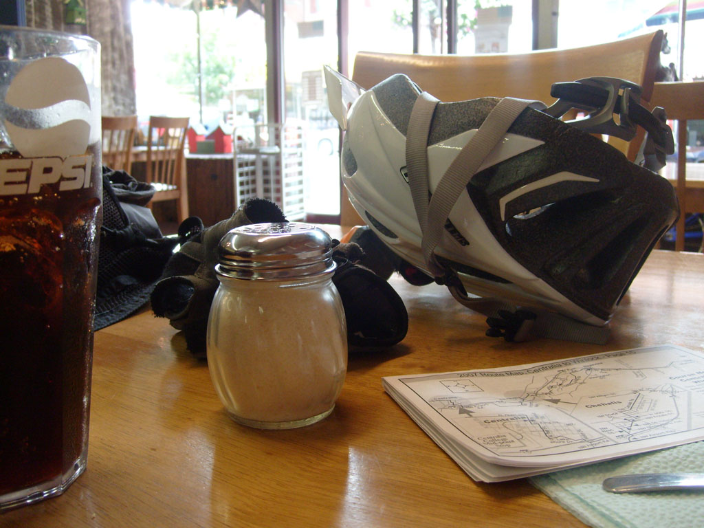
Lunch stop in Centralia |
 |

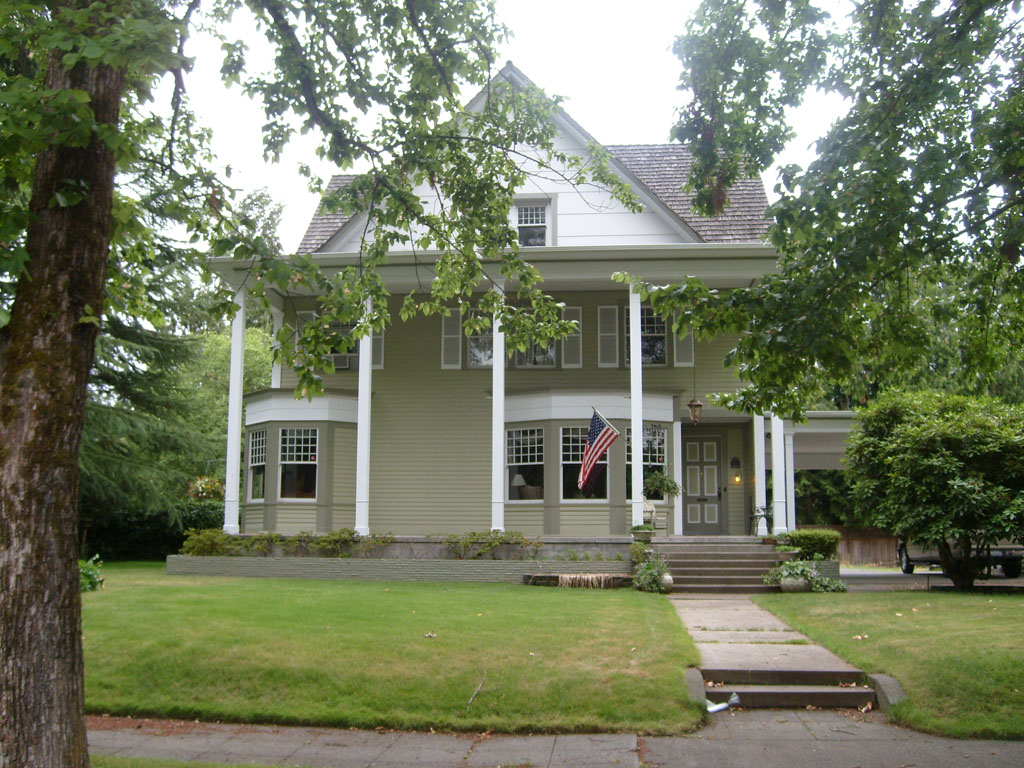
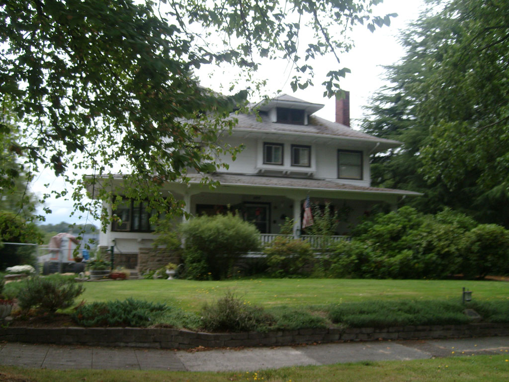
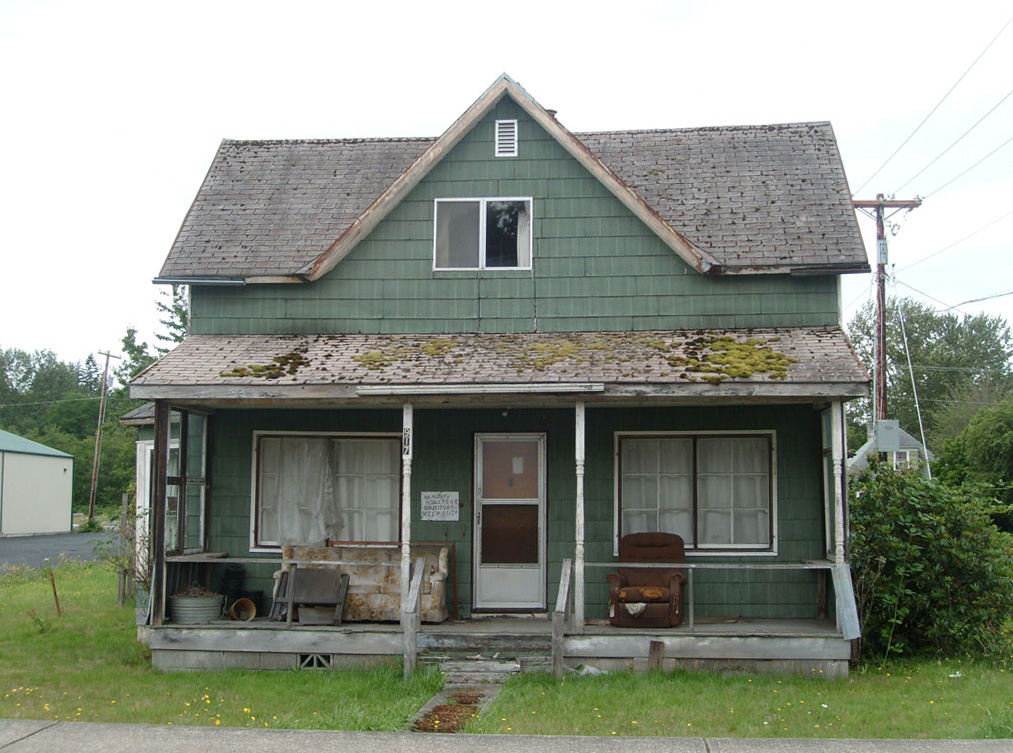
Historic homes in
Centralia |
 |
 |
 |

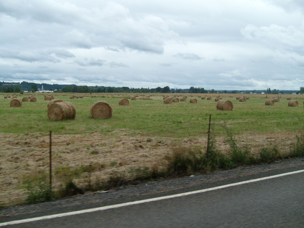
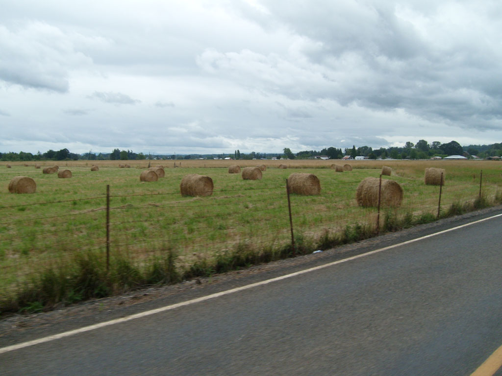
Rolls of hay |
 |

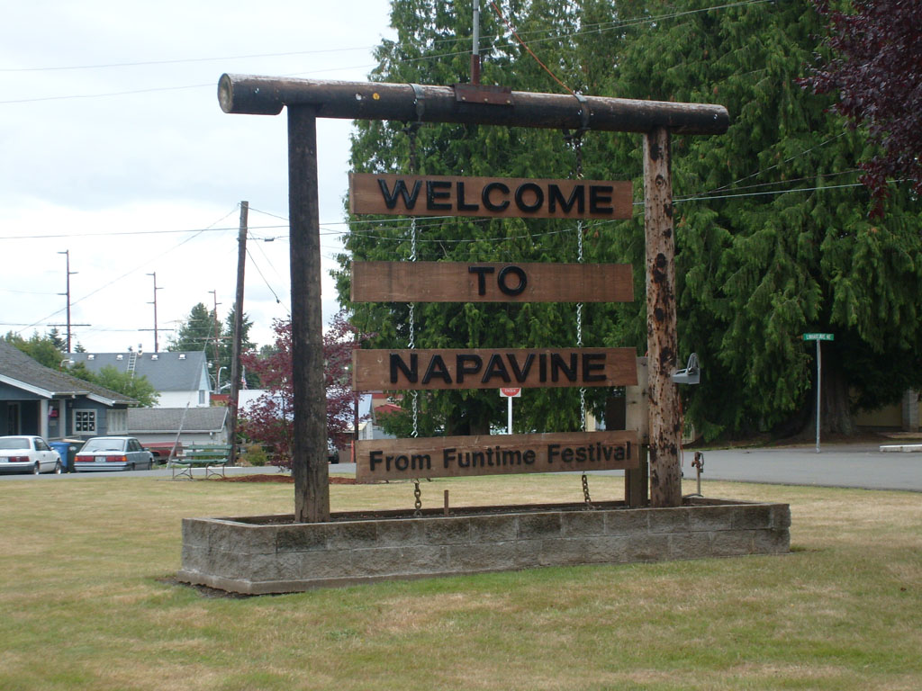
Napavine |

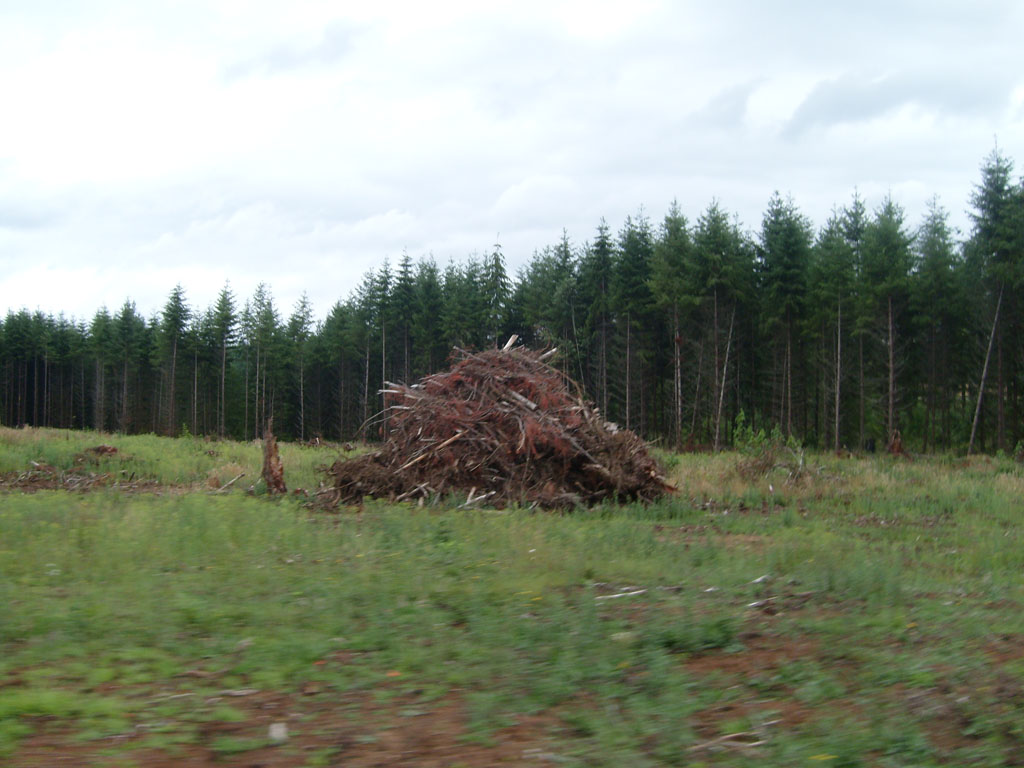
Pile of brush left over
from clearing this forest |
 |

Lots of rollers |
 |

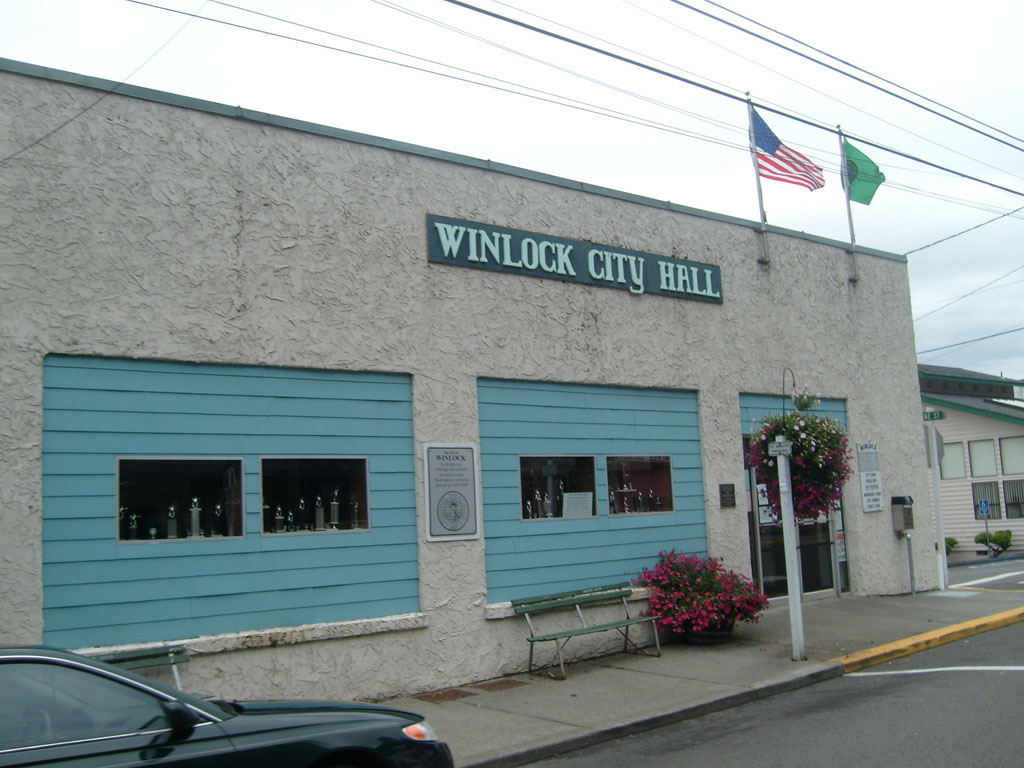
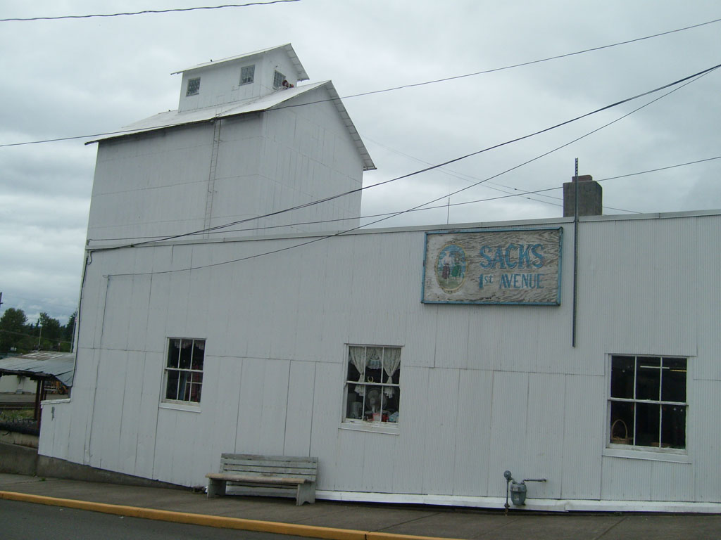
Downtown Winlock |
 |

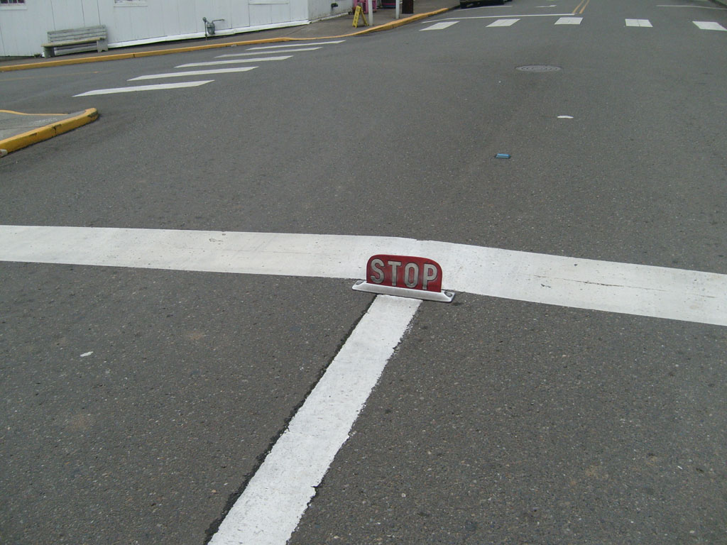
Interesting stop sign |
 |

World's largest egg, in
Winlock, WA |

Back road |
 |

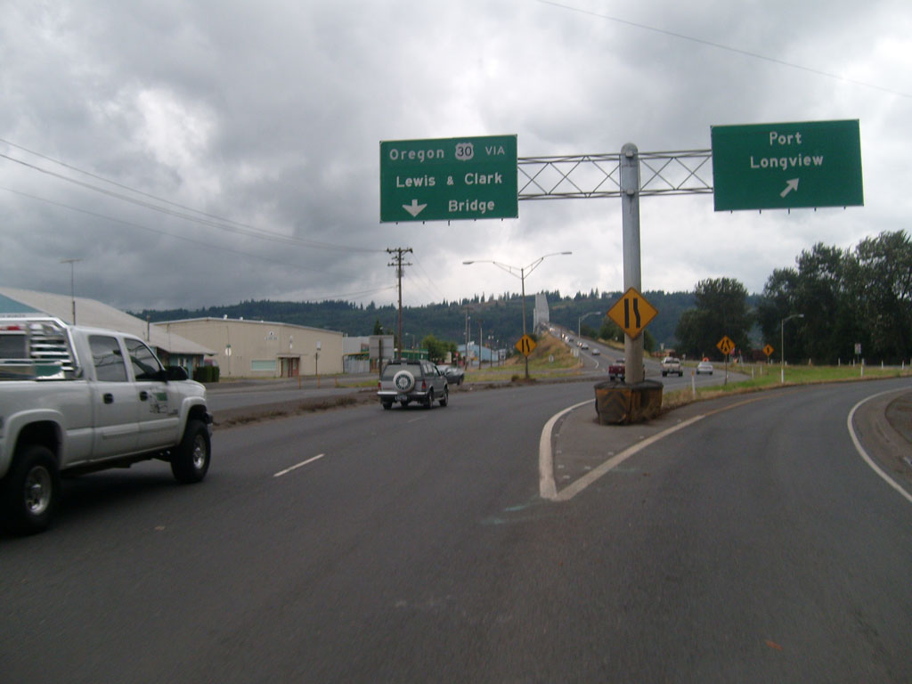
Stopped at Starbucks
before crossing the Columbia River--you can see our bike and the
Lewis and Clark Bridge outside |
 |
 |

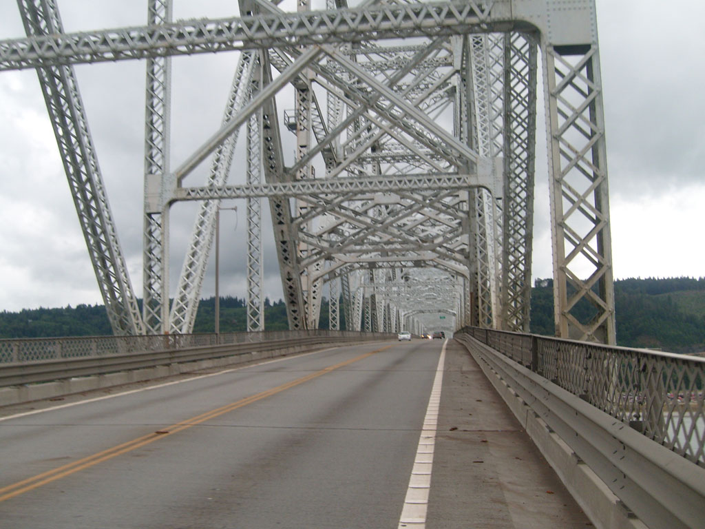
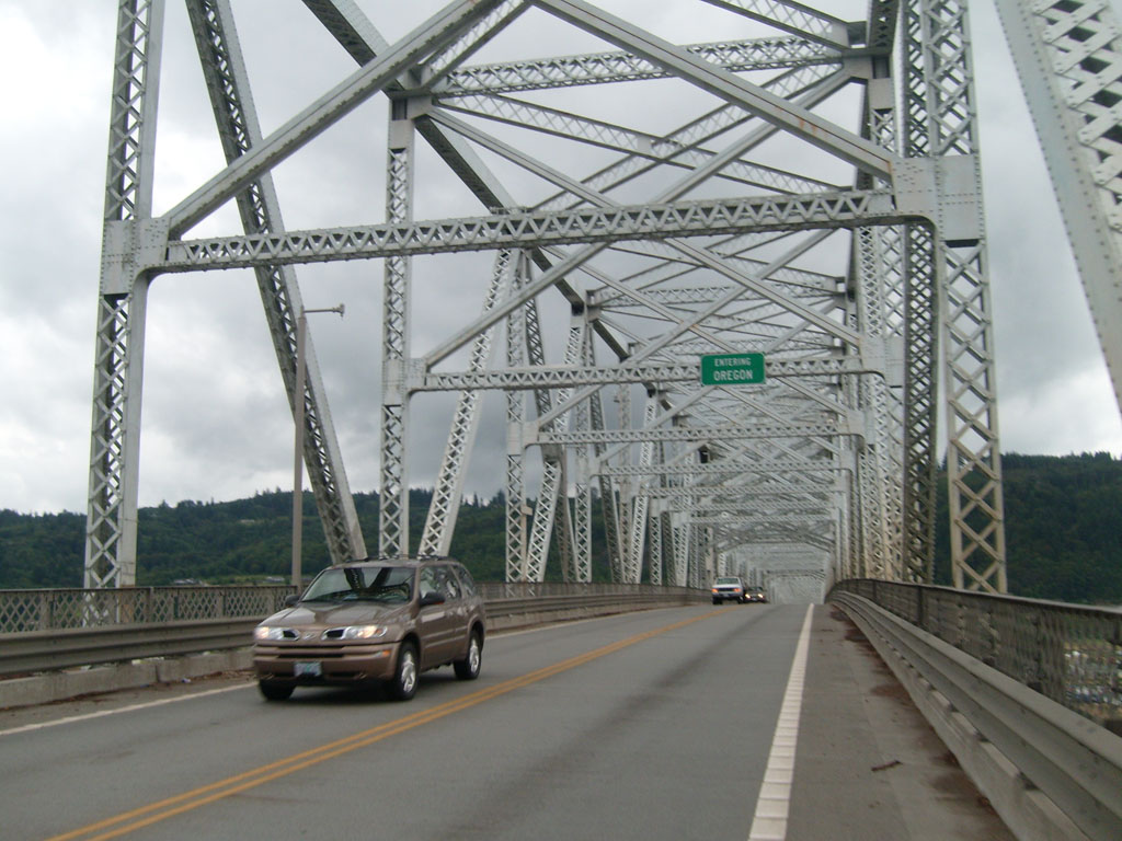
Entering Oregon on the
Lewis and Clark Bridge |

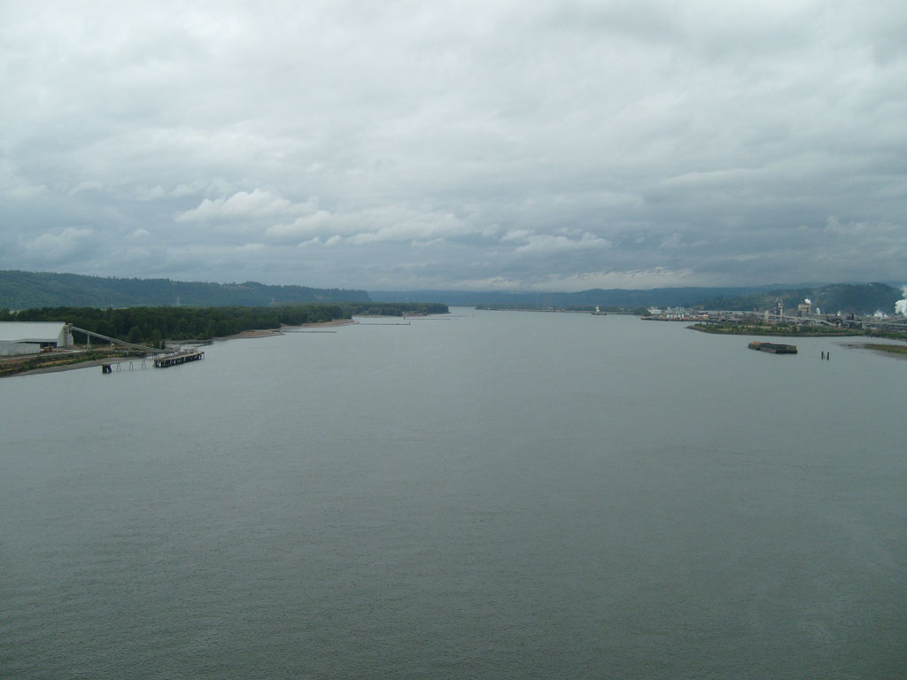
Views of the mighty
Columbia River |
 |

Looking back at the Lewis
and Clark Bridge |

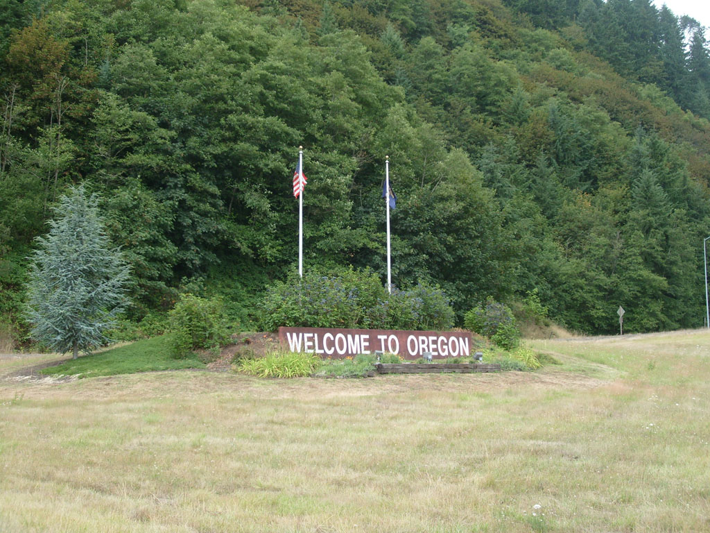
Welcome to Oregon |
 |
 |

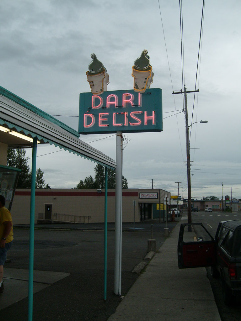
Dari Delite, St Helens |

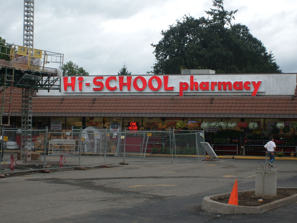
Hi-School Pharmacy, for
all your high school drug needs. |

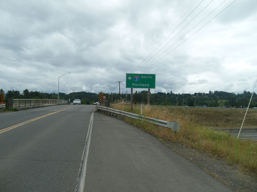
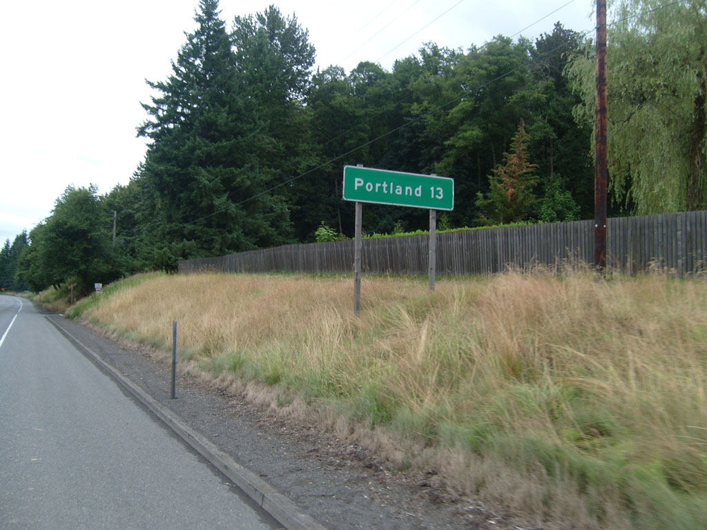
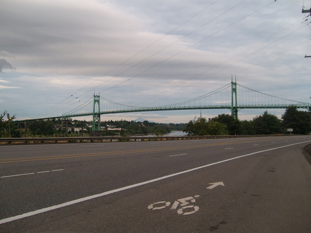
Almost there! |
 |

First view of Portland,
with Mt Hood in the background |
Click on the image for detailed GPS
info (ignore the part from Reno to Seattle--blame that on poor
satellite signal) |